Weather Permitting: Here's your Fayetteville-area weekend forecast
Greetings and welcome to June! Looks like we'll finally have a dry weekend, aside from some scattered showers Saturday.
And, just in time for the season, we have our first potential tropical activity.
It's been a while since we've been able to look forward to a weekend without rain. If things go according to plan, this weekend will be one of them.
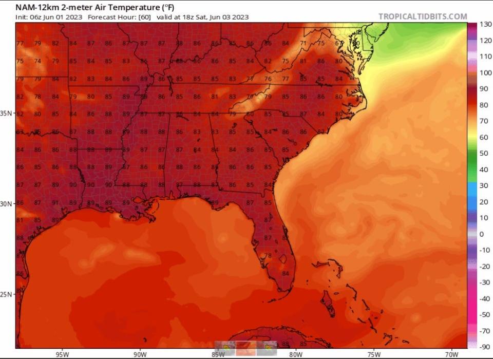
Some scattered afternoon showers are possible across the Cape Fear region, but there's no indication of the widespread gloom and rain that has foiled weekend plans throughout the spring. Temperatures will climb into the upper 80s by Saturday, then drop back to the upper 70s to wrap things up.
Right on schedule, it's also time for the first potential tropical system in the Gulf of Mexico. But don't worry: The same conditions keeping the heat of summer at bay here will also push this system away.

Here's the setup
High pressure to our north and a deep trough to the west have pretty much locked the Cape Fear region into this cooler pattern for a while. It looks like we'll continue with a cool northeast flow into mid-June.
The flow will weaken a bit on Friday, allowing temperatures to climb back into the 80s, then upper 80s on Saturday. Dew points will hold in the upper 50s, however, so we won't have that muggy feel of summer. It will be warm enough to trigger scattered popcorn-type showers, but nothing of note.
Saturday evening, look for another back-door (north to south) front to push into the Carolinas. It could trigger some showers, mainly to the north. The biggest difference will be clouds and notably cooler temperatures on Sunday. Highs in Fayetteville will likely hold below 80 with brisk northeast winds.
Down the road
After a few pleasant days, with sunshine and highs in the mid-to-upper 80s, look for another trough to approach the region late Wednesday or Thursday. That could bring scattered showers and another cooling trend with remarkably low dew points for early June.
Overall, this generally cooler-than-usual trend is likely to persist into the middle of the month. After that, the southern ridge will begin trying to reclaim the South. It's just a matter of time until summer arrives.
In the tropics
Say hello to Invest 91L, the first such system of 2023 in the Atlantic. It's drifting north in the Gulf, slowly building wind speed (30 mph) and organization. The National Hurricane Center gives 91L a 50-50 chance of becoming at least a tropical depression before upper-level winds begin shearing it apart.
Expectations are for the system to be forced south in the next few days, toward Cuba or the Yucatan. Either way, it's fun to watch, but of no concern for the Carolinas.
Have a great weekend!
Got a weather question? Chick Jacobs can be reached at ncweatherhound@gmail.com or NCWeatherhound onTwitter.
This article originally appeared on The Fayetteville Observer: Weather Permitting: Here's your Fayetteville-area weekend forecast

