Weather Permitting: More cold temperatures, possible snow on the way for Fayetteville area
We know it's going to get cold ... real cold ... across the Cape Fear region later this week.
We also know there's going to be frozen precipitation.
But snow? Ice? Another chilly slopfest like Sunday? That remains to be seen.
Much depends on energy that hasn't reached the West Coast as of lunchtime Monday. We'll run through a couple of potential setups while you check your car battery for the cold stretch coming up.
Here's the setup ... sort of
A blustery day today across the Cape Fear region as northwest winds rake the Carolinas. Highs in the mid-40s felt more like 35 as high pressure built over the area. Winds will ease tonight as temperatures drop into the mid-20s in Fayetteville.
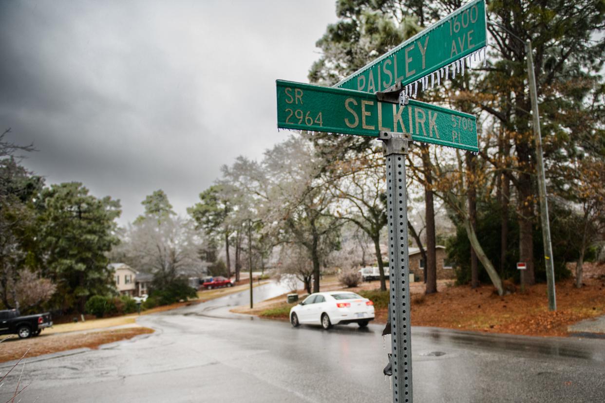
More: Danger still looms for Fayetteville area after Sunday's storm
Tuesday and Wednesday look sunny and a bit warmer as high pressure slides offshore. Tuesday will be close to the mid-January norms of 50 degrees, and a few spots may flirt with 60 on Wednesday.
It's the last time we'll say that for quite a while. A sprawling Arctic air mass is barreling south and will approach the region Thursday. Ahead of the cold, clouds and light rain will hold the region to a high of about 50. Look for temperatures to begin tumbling late afternoon as a front passes through.
This is where things get tricky. Temperatures should drop below freezing late Thursday night. With the temperature profile sub-freezing all the way to the surface, any moisture should fall as snow. Right now, though, it's uncertain how much moisture will be left.
Follow The Fayetteville Observer on Instagram, @fayobserver.
Even more iffy is the potential for low pressure to develop offshore toward the weekend. Modeling is all over the place currently, with some squashing the low, suppressing potential snow to our south. Others give us a repeat of Sunday, pulling the low inland and coating the region in ice.
Either way, it's going to be cold. Temperatures in Fayetteville may not reach freezing, with wind chills in the low teens Saturday morning. Current projects are the city won't see the high side of 40 through the weekend.
This remains a fluid forecast, with the potential for a major winter event toward the weekend. I'll update as things get clearer. Stay tuned!
Got a weather question? Chick Jacobs can be reached at ncweatherhound@gmail.com or NCWeatherhound on Twitter.
This article originally appeared on The Fayetteville Observer: More cold temperatures, possible snow on the way for Fayetteville area

