Weather: Severe Thunderstorm Warning issued for Brown County
Update 5:45 p.m.: A Severe Thunderstorm Warning has been issued for Georgetown Mount Orab and Ripley OH until 6:30 p.m.
Severe Thunderstorm Warning including Georgetown OH, Mount Orab OH and Ripley OH until 6:30 PM EDT pic.twitter.com/YEB9ipifPe
— NWS Wilmington OH (@NWSILN) June 22, 2022
Update 5:40 p.m.: A severe Thunderstorm Warning has been issued for Falmouth, Brooksville and Butler, Kentucky until 6:15 p.m.
Severe Thunderstorm Warning including Falmouth KY, Brooksville KY and Butler KY until 6:15 PM EDT pic.twitter.com/VXB9KOAsmd
— NWS Wilmington OH (@NWSILN) June 22, 2022
Update 4:45 p.m.: A severe Thunderstorm Warning has been issued for Vevay Indiana, Warsaw and Glencoe Kentucky until 5:00 p.m.
There is also a severe Thunderstorm Warning in effect for Hebron, Florence and Independence Kentucky until 5:15 p.m.
Severe Thunderstorm Warning including Vevay IN, Warsaw KY and Glencoe KY until 5:00 PM EDT pic.twitter.com/7INOWJoeHM
— NWS Wilmington OH (@NWSILN) June 22, 2022
Update 4:20 p.m.: A Severe Thunderstorm Warning has been issued for Dent, Ohio, Harrison, Indiana and Cheviot, Ohio until 5:00 p.m.
Severe Thunderstorm Warning including Dent OH, Harrison IN and Cheviot OH until 5:00 PM EDT pic.twitter.com/1l2iCNM2HB
— NWS Wilmington OH (@NWSILN) June 22, 2022
Update 4:15 p.m.: A Severe Thunderstorm Warning is in effect for Wilmington, Sabina and Leesburg Ohio until 4:45 p.m.
Severe Thunderstorm Warning including Wilmington OH, Sabina OH and Leesburg OH until 4:45 PM EDT pic.twitter.com/0GqOGmgCcd
— NWS Wilmington OH (@NWSILN) June 22, 2022
A severe Thunderstorm Warning has been issued for parts of Middletown, Monroe and Trenton until 4:30 p.m.
Severe Thunderstorm Warning including Middletown OH, Monroe OH and Trenton OH until 4:30 PM EDT pic.twitter.com/JzPKcHtVCK
— NWS Wilmington OH (@NWSILN) June 22, 2022
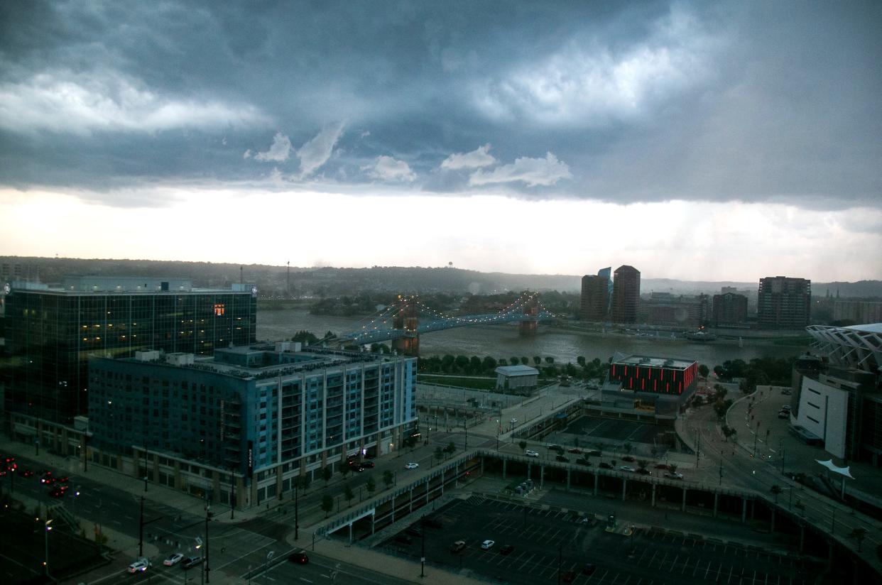
Forecasters predict there will be scattered thunderstorms throughout the afternoon. A few strong to severe storms will be possible later this afternoon into early evening with damaging winds being the main threat.
The heat index could reach in the 100 to 105 range through Wednesday afternoon as well. Anyone who will be outside this afternoon is encouraged to drink plenty of fluids and dress accordingly.
This article originally appeared on Cincinnati Enquirer: Severe Thunderstorm Warning issued for Brown County

