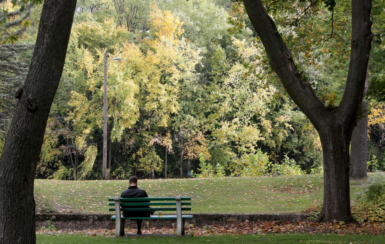
Weather whiplash: freezing rain gives way to gorgeous weekend

After a dreary start to the week that brought some of the earliest recorded snowfalls to the area, Michiana will experience the other end of the weather spectrum this weekend with mostly clear skies and unseasonably warm temperatures.
Saturday and Sunday are expected to be some of the nicest days of the fall with highs hitting the mid-70s, which is unusual for mid-October. Highs for this time of year are typically in the low-60s, said Kyle Brown, a meteorologist with the northern Indiana branch of the National Weather Service,
“It is rather unusual, but not impossible, for it to get this warm in late October,” Brown said.
School board campaigns:P-H-M defends academics as conservative-backed school board candidates target test scores
Making the genial weather even more unusual is the fact it comes on the heels of an equally unseasonable cold spell that brought a few inches of snow to parts of Elkhart and Kosciusko counties.
“If you’ve lived in this area long enough, the Midwest can be very volatile in both the spring season and the fall season. And I think this is just one of those instances where we are experiencing that volatility,” Brown said.
NWS data showed two inches of accumulation in Nappanee from Monday into Tuesday, with Goshen getting around 1 inch and parts of Kosciusko County seeing 2.8 inches. Goshen has seen snowfall before Oct. 10 on occasion, Brown said, this week's lake-effect system was “among the earliest times on record.”
South Bend only saw a trace amount (less than a tenth of an inch) of snow, as cooler temperatures further east of Lake Michigan allowed the precipitation to form into snow. Historical data shows there has been recorded snowfall in South Bend as early as Sept. 25 in 1942 and 1994.
The reason for the drastic change from the beginning to end of the week, Brown explained, is two very different weather systems moving through the area in short time frame. The cool air from the lake on Monday and Tuesday will soon be superseded by warmer weather from the southwest.
Brown said neither the snow flurries nor this weekend’s warm temperatures are necessarily indicative of what the overall winter forecast will bring.
“We say climate is what you expect, weather is what you get,” said Brown. “We’ve had these two very different weather systems....it really is part of a larger weather system that’s always moving.”
In the more immediate future, Brown anticipates temperatures to align with seasonal averages over the next week and a half, meaning highs in the high 50s or late 60s.
This article originally appeared on South Bend Tribune: Weather whiplash: Sun expected in Michiana following snowy start to week

