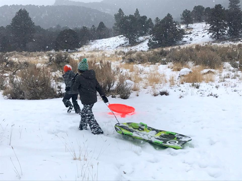
Weekend to bring rain, snow, winter temperatures to southern Utah
Another winterlike forecast is in store for southwestern Utah this weekend, with rain, snow and sometimes bitterly cold temperatures forecast for the entire region starting on Sunday.
A slow-but-steady storm system is set to move into Utah on Sunday, with mountain snow, valley rain and strong winds across much of the western half of the state, according to the National Weather Service office in Salt Lake City.
The storm could last for a few days, at least into Tuesday, with heavy clouds and consistent precipitation in most places.
Luckily, the temperatures should stay high enough to limit heavy snowfall to the mountains.
👀Weekend Update:
Our active pattern continues, with two additional storms expected for the weekend.
❄A quick-moving storm is expected Friday.
❄A much slower storm will impact our entire forecast area between Saturday and Tuesday.
Details below ⬇ #utwx #wywx pic.twitter.com/ZcDOnGgk1H— NWS Salt Lake City (@NWSSaltLakeCity) December 7, 2022
The Cedar City area is forecast to get a mix of rain and snow on Sunday morning, which would then develop into snow overnight. As much as three to five inches are forecast overnight from Sunday into Monday, with a 98% chance of precipitation. Another inch could fall on Monday morning.
St. George residents aren't likely to get any "white Christmas" vibes, though, with the city's lower elevation keeping it below the likely snow line. The city could get up to a half-inch of rain on Sunday, with a 100% chance of precipitation on the NWS forecast, but the temperatures should stay above freezing.
Cold temperatures next
Once the storm moves out, cold temperatures are expected to move in, with freezing temperatures throughout the region starting Monday night.
Cedar City is forecast to dip to 14 degrees Monday night, then fall as low as 9 degrees on Tuesday night. Nighttime lows from there would stay in the teens for the foreseeable future.
St. George is forecast to dip as low as 22 degrees on Tuesday night, with nighttime lows staying in the 20s through the rest of the week.
Another storm on the way?
The long-term forecast anticipates another storm could come through next weekend as well, with more precipitation expected to start Sunday, Dec. 18, and continue through the next several days.
This article originally appeared on St. George Spectrum & Daily News: Weekend storm to bring rain, snow and eventually cold to Southern Utah

