Will we have a white Christmas?
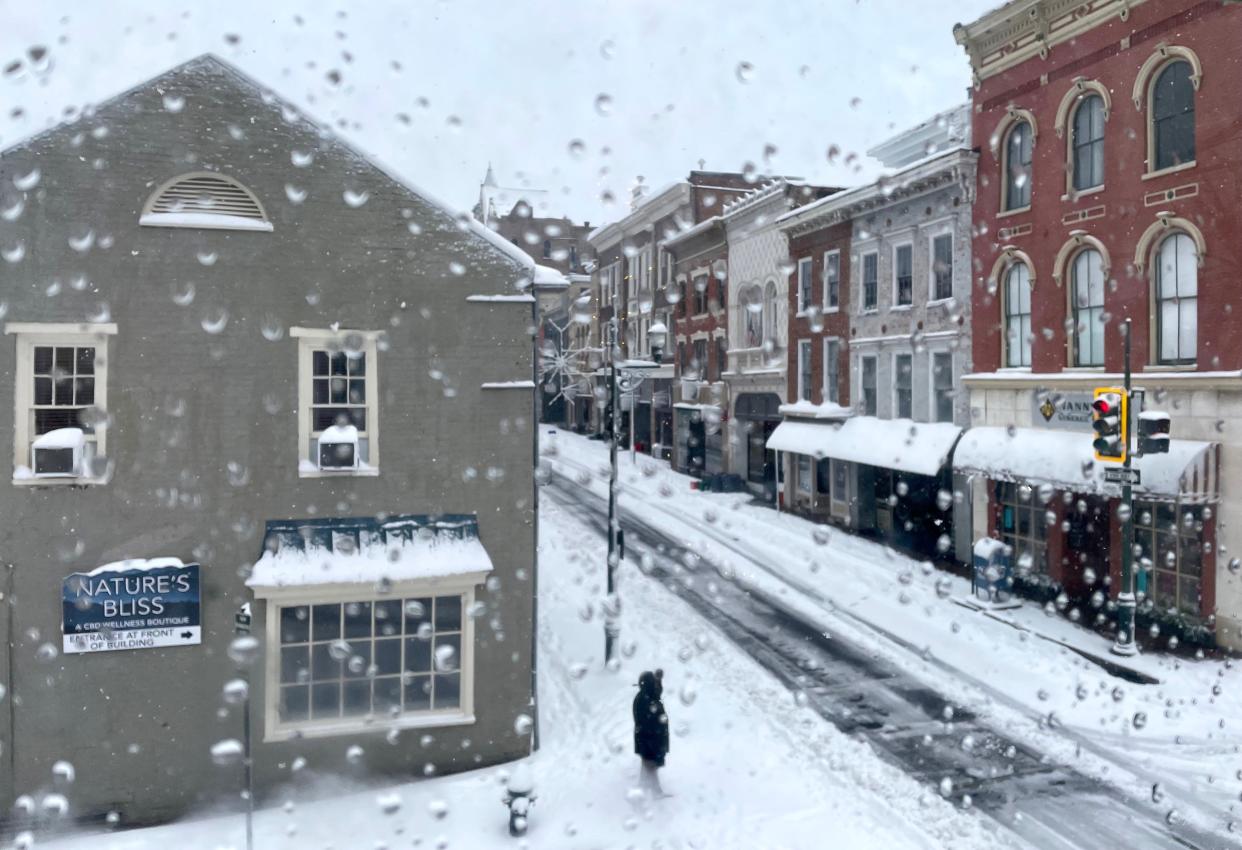
Do you still look out your window on Christmas morning to see if it snowed? Whether it's a classic holiday song that has you dreaming of a white Christmas or childhood memories-in-the-making of sledding, snowmen and snowball fights, snow on Christmas Day is the perfect way to capture the holiday spirit.
Every day at The News Leader, we will update you here on what we can expect on Dec. 25th.
The National Weather Service expects frigid air to plunge through the eastern United States, including the Shenandoah Valley, starting as early as Wednesday and lasting through Christmas Eve, creating the possibility of a wintry mix.
Strong high pressure building over the eastern Pacific Ocean toward the Alaska Aleutian Islands will act as a force field, deflecting the jet stream which will bulge toward the Arctic Circle in central North America before crashing southward over the central and eastern United States, according to NOAA's weather trajectory model at the U.S. National Weather Service.
More:'Big mess' is days away: Major winter storm to bring snow, arctic temps and travel headaches
Snow, high winds, blizzard conditions and dangerous cold are all possible Thursday through Sunday, according to the NOAA's weather forecast on Monday.
What they don't know is the exact track of the storm.
Will it snow in Staunton, Waynesboro, Augusta County?
It is one of the big questions asked every holiday season.
Monday update (Dec. 19)
"It's not looking overly optimistic today," said Tom Kines, senior meteorologist at AccuWeather, for a snowy Christmas in the Valley.
"Right now, the odds are pretty low," said Kines. "It is going to be cold enough this week to support some snow, but I think while it's cold enough, it will be dry."
On Saturday, Christmas Eve, temperature wise it's going to have a tough time getting above 32 degrees, he said.
"I think the odds favor a brown Christmas, not a white Christmas," said Kines. "I would say it's less than 10% right now. Stranger things have happened, but we'll see."
Will it be safe to travel in Virginia?
There's going to be a pretty significant storm that affects the middle part of the country and even the northeast in the Thursday-Friday timeframe. If you're flying, your best bet is to leave later or earlier, advised Kines.
"Friday is probably the worst day maybe because of wind and some rain. If you're heading up in the mountains, I can certainly see a little bit of snow up there sometime Friday."
There's going to be some major airports affected by the snow, Chicago being one of them, and this creates a domino effect because a lot of flights go through Chicago, so when those flights are delayed or canceled that throws a monkey wrench into the rest of the flights, said Kines.
So basically, no snow and difficult travel conditions expected. Bah, Humbug. But, like Scrooge's nephew, we'll keep trying, and update this story as conditions change over the course of the week.
Tuesday update (Dec. 20)
Looks like we might see a little bit of snow later this week. But will there be enough for a white Christmas?
We checked in with Tom Kines, senior meteorologist at AccuWeather, for our Tuesday update.
"It's not looking like we're gonna be able to pull it off," said Kines about the potential for a white Christmas.
"It looks like a fair amount of rain coming later Thursday, Thursday night, maybe into early Friday. It may start off briefly as snow, but even if it would, any accumulation will be washed away by the rain that's going to follow."
On Friday, once the rain stops and it starts to turn much much colder, Kines said the rest of the time should be dry, so on Saturday even though it's cold enough for snow, it should be dry weather.
Any changes to holiday travel?
Looks like difficult conditions between Thursday and Saturday continue, especially at Chicago airport, said Kines.
"I suspect that Chicago will be shut down for a while," said Kines. "I feel very strongly that that'll be the case."
Wednesday update (Dec. 21)
We checked in with our holiday meteorologist at AccuWeather, Tom Kines, on what to expect as we count down to Christmas.
"Tonight will be dry, and even tomorrow morning but certainly in the afternoon we will have to worry about some rain coming in," said Kines. "Could start as snow or a mix with snow but it's not going to amount to anything."
Rain for the most part tomorrow afternoon and evening and the first part of Friday.
Some of that rain tomorrow night can be heavy, he said.. Also, it's also going to be windy later tomorrow night into Friday. Very windy.
"Potentially wind gusts as high as 50 mph," warned Kines. With those wind gusts, it's not out of the question that it causes some power outages, he added.
"Good thing this wind isn't coming on Christmas Eve because that would blow Santa right off the roof."
Storm will move away during the day Friday, and as it does, much, much colder air will arrive.
Temperatures on Friday will start in the 50s, but by evening temperatures will probably drop below freezing which brings up another concern.
"If the temperature falls quick enough, the wet roads won't have enough time to dry out," he said. "You may have to worry about some icy spots and slick spots on the roads late Friday afternoon into evening."
The weekend looks dry and cold with temperatures in the 20s.
Thursday update (Dec. 22)
The National Weather Service issued a winter weather advisory Wednesday night that included early morning snow and slippery road conditions Thursday.
Winter weather advisory:Overnight and early morning snow will change to rain: Winter weather advisory
But don't expect it will stick around for Christmas.
The advisory, which went into effect 2 a.m. will continue to 3 p.m. Thursday, calls for snow and sleet accumulations from a coating in the valley, though 1 to 3 inches of snow may accumulate in higher elevations over 2,000 feet.
Ice accumulation can range from around a trace to a tenth of an inch in the valleys, and a tenth to a quarter inch along the ridges.
Valley residents in Augusta County could wake up to a wintry mix. Precipitation will most likely begin as a wintry mix starting between 2 a.m. and 5 a.m. that will change to mostly freezing rain late Thursday morning.
Expect rain later Thursday afternoon into Thursday evening.
Thursday morning drivers should plan on slippery road conditions that could impact the morning commute along with holiday travel.
This article originally appeared on Staunton News Leader: Snow on Christmas in Shenandoah Valley Virginia?

