White Christmas? 'Potential blockbuster' snowstorm brewing in parts of US
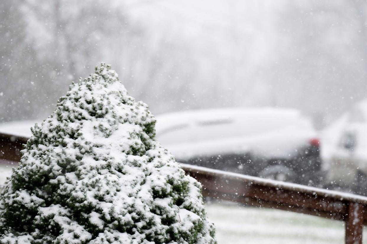
A major snowstorm may be brewing over the central and eastern U.S. in the days before Christmas with the potential to complicate holiday travel.
The likelihood of a "potential blockbuster system" hitting before Christmas is increasing, AccuWeather forecasters said, although high-confidence forecasts for Christmas Day are still several days away.
The storm is also expected to coincide with an outbreak of Arctic air forecast to drop temperatures to "bone-chilling levels," according to AccuWeather. The National Weather Service forecast below-average temperatures in the days before Christmas throughout most of the country, including the East Coast, South and Midwest, as the Arctic airmass heads toward the Midwest and Ohio.
White Christmas in Cincinnati? Cold air moving in
From Santa to 'Jingle Bells':A timeline of your favorite Christmas traditions
Snow forecast for days before Christmas
From Dec. 22 to 24, snow may extend from the southern Plains to the Midwest, Northeast and possibly interior Southeast states, according to AccuWeather. Snow, falling temperatures and strong winds may lead to slippery travel conditions from parts of the lower Mississippi Valley to the Midwest and Northeast states.
"This storm will likely become intense, feeding on the extremely sharp variation between the surging arctic air arriving from the Central states and relatively warm air across the Southeastern U.S.," AccuWeather Chief Meteorologist Jon Porter said.
Forecasters will have a clearer picture of the storm's path and where may receive the heaviest snow as Christmas approaches.
BRRRR! Very cold Arctic airmass looks to make its way into the Midwest and Ohio Valley next week. Here is the Climate Prediction Center outlook for days 6 through 10. Get your winter gear ready! #INwx #OHwx #MIwx pic.twitter.com/pyqTvoyBfa
— NWS Northern Indiana (@NWSIWX) December 15, 2022
Cold temps expected in Cincinnati
According to the National Weather Service, cold temperatures and strong wind could make for "dangerously cold wind chills" later this week and weekend. Wind gusts up to 40 and 50 mph are expected Friday and Saturday, with a chance for snow accumulation Friday. Strong winds could lead to reduced visibility, and could impact holiday travel.
Detailed Cincinnati forecast
Monday: Clouds. High around 35. Monday night: Cloudy. Low near 27.
Tuesday: Cloudy at the start, but gradually becoming mostly sunny. High around 42. Tuesday night: Partly cloudy. Low near 25.
Wednesday: Partly sunny. High around 42. Wednesday night: Mostly cloudy. Low near 32. After 1 a.m., there will be a chance of rain and snow, with a 40% chance of precipitation, but little to no snow accumulation expected.
Thursday: Rain and snow likely to come before 9 a.m., then just rain. High around 45. Eighty percent chance of precipitation. Thursday night: Rain prior to 1 a.m. Rain and snow to likely occur between 1-2 a.m., and snow is likely after 2 a.m. Low near 18. Ninety percent chance of precipitation.
Friday: Chance of snow. Mostly cloudy. High around 19. Forty percent chance of precipitation. Friday night: Mostly cloudy. Low near 2.
Saturday: Partly sunny. High around 14. Saturday night: Mostly cloudy. Low near 3.
Christmas Day: Mostly sunny. High around 19.
Source: National Weather Service, Wilmington.
David Wysong contributed to this report.
This article originally appeared on USA TODAY: White Christmas? Potential snowstorm brewing in parts of US

