Why NASA is worried about sand storms
NASA scientists are beginning to map out dust and sand storms in order to plan for the future in the fight against climate change. Here's everything you need to know:
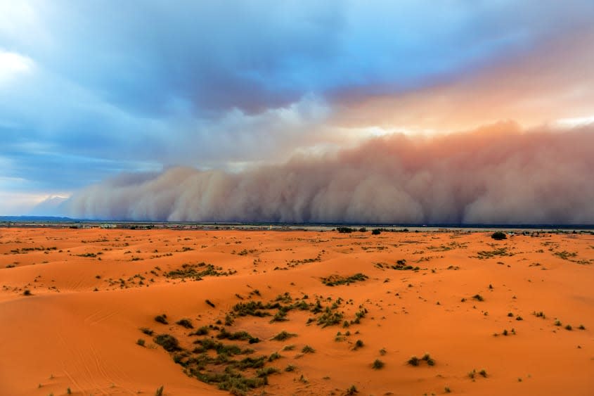
What are dust storms?
Dust storms and sand storms happen "when strong winds lift large amounts of sand and dust from bare, dry soils into the atmosphere," the World Meteorological Organization explains. These particles can be carried thousands of miles and can worsen air pollution.
There has been an increase in dust and sand storms because of land degradation and droughts caused by climate change, according to the United Nations. The storms can "damage crops, kill livestock, and strip topsoil" in the areas where they originated, "while distant areas are affected by atmospheric dust and surface dust deposits, which affect human health as well as disrupt transportation, supply chains, and power networks."
Dust particles in the air also have a greenhouse effect: They trap heat in the atmosphere and warm the planet. Approximately 40 percent of atmospheric aerosols, which are minute particles suspended in the atmosphere, are dust particles resulting from wind erosion.
What is NASA doing to track dust storms?
NASA is using an imaging spectrometer called the Earth Surface Mineral Dust Source Investigation (EMIT), located on the International Space Station, to map out global dust storms. EMIT works by "imaging spectroscopy in the visible and short-wave infrared range," meaning it uses the dust's hue to determine its mineral makeup and map how it affects the temperature of the region it initiated in, NASA explains.
Each type of dust reflects light in a unique way, climate scientist Natalie Mahowald, who is working with NASA on EMIT, told CNN: "Red and the dark dust absorbs it," and white reflects the radiation, she explained. Dark dust has a greenhouse gas effect because it traps heat on the Earth. The instrument, launched last year, collects data on dust storms from space, greatly expanding the current data set by providing billions of data points rather quickly, CNN says.
"We can use that (data) to better understand what the impact of desert dust is," Mahowald said, adding that EMIT will "revolutionize what we can do."
Why are scientists interested in dust and sand storms?
Sand and dust aren't inherently bad, but problems arise when there is too much of them. "When the dust settles in water or on land it can provide nutrients for ecosystem growth," writes NASA. Because climate change is making sand and dust storms more common, there are concerns about the aerosols contributing to global warming. This also acts as a feedback loop, CNN says: the higher temperatures get, the more storms there will be.
As storms in the Sahara Desert become more severe, the Arctic is feeling the effects. "We noticed that during the last two decades, the darkening of the ice in the Arctic was becoming significant," Diana Francis, a climate scientist at Khalifa University in Abu Dhabi, told CNN. "We know that when the ice is dark it'll reflect less of the solar light, and therefore it'll melt faster."
EMIT's data will help scientists map where dark dust is becoming more prevalent, and why. "Scientists know that most of the mineral dust transported in Earth's atmosphere comes from arid, or dry, regions around the globe," NASA explains. "But they aren't certain what types of minerals the wind carries from those regions."
"The EMIT project is testing the waters, and really showing what is possible," Mahowald told CNN. "We're going to go from 5,000 to billions of pieces of data, and much higher resolution. That's going to help us tremendously."
You may also like
Egyptian archeologists discover Sphinx from 1st century A.D.
How Republicans are reacting to Tucker Carlson's 'off the rails' Jan. 6 stunt

