Wind advisory, more rain, arctic temperatures: Winter's coming for Central Ohio
Central Ohio may not resemble George R. R. Martin's fictional Westeros in many ways, but winter is coming, whether the region is ready or not. While the cold weather is still a few days away, the hazardous weather begins Friday morning.
The National Weather Service issued a wind advisory from 11 a.m. Friday through 7 p.m. Saturday because of the potential for high wind gusts.
The forecast Friday calls for winds of between 25 and 35 mph with gusts up to 55 mph expected. The wind could result in unsecured objects and tree limbs being blown down and could lead to power outages throughout the region.
The wind will give way to rain storms that are expected to begin late Friday morning and last throughout the afternoon and evening. The area could see a half inch of rain, according to the National Weather Service's forecast for the area. That means adding more to the already record rainfall Columbus experienced already in January.
Saturday will see a chance for some snow showers with the chance for small accumulation amounts likely to remain around half an inch.
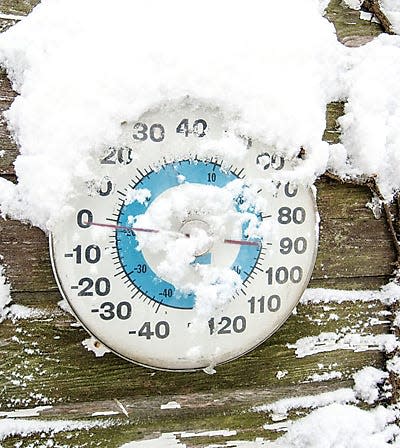
Temperatures will plummet Saturday night with wind chills near zero degrees possible.
Sunday will see dry weather but frigid temperatures. The high is 17 degrees and with winds up to 20 mph in the forecast, wind chills may drop below zero in some areas.
The cold weather is expected to continue into early next week, with wind chills below zero possible for Monday, Tuesday and Wednesday, when wind chills could reach 10 below zero or colder.
@bethany_bruner
This article originally appeared on The Columbus Dispatch: Wind, more rain, the polar vortex: Winter's coming for Central Ohio
