Lake-effect snow warning: Cold front to bring heavy snow, high wind gusts to Erie County

The final days of November are likely to bring the first major snowfall of the season to northwestern Pennsylvania.
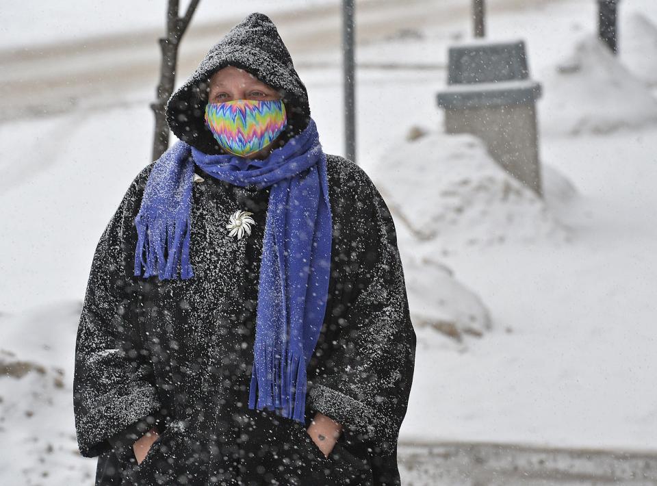
The National Weather Service in Cleveland has issued a lake-effect snow warning for Erie County and Crawford County from early Monday through Wednesday morning.
Heavy lake-effect snow is expected in Erie County and is possible in Crawford County. The heaviest snowfall is expected Monday night through Tuesday morning.
Here's what's in the forecast:
How much snow could Erie County get?
Total snow accumulation of 12 inches to 20 inches is forecast for the area, according to the warning, with a few inches more possible in some areas, according to the totals in the daily forecast. The warning is scheduled to take effect Monday at 4 a.m. and continue through Wednesday at 7 a.m.
The weather service forecast calls for 1 inch to 3 inches of snow Monday, then 6 inches to 10 inches Monday night. An additional snowfall of 2 inches to 4 inches is in Tuesday's forecast, followed by another 1 inch to 2 inches Tuesday night.
Winds will gust to more than 30 mph Monday and Tuesday, according to the forecast.
Monday's high temperature will be near 36 degrees and the low around 26. Tuesday's high will be around 31 and the low near 21. The high Wednesday should be around 39.
Spy on Erie's weather: Tour the region's weather conditions with these webcams
How much snow could Crawford County get?
Meadville, Titusville and other areas in Crawford County are expected to see 5 inches to 12 inches of snow, with up to 15 inches possible in some areas. The warning period starts Monday at 7 a.m. and continues until Wednesday at 7 a.m.
Monday night could bring 1 inch to 3 inches and Tuesday 3 inches to 7 inches of snow, according to the weather service, with lighter snow forecast Monday and later Tuesday. Winds could gust near 30 mph Tuesday.
Monday's high temperature will be near 32 and the low around 21. Tuesday's high will be around 28 and the low near 18. Wednesday will see a high around 36, according to the forecast.
Erie winter weather survival guide: Pets to power, frostbite to frozen pipes
What other areas near Erie could get snow?
The weather service in State College has issued a lake-effect snow warning for Warren County through Wednesday at 1 a.m. Heavy lake-effect snow is possible, with 6 inches to 10 inches possible north of Route 6 and lesser totals elsewhere. The heaviest snowfall is expected Monday night into Tuesday. Wind gusts of more than 20 mph throughout the watch period will increase to more than 30 mph at times Tuesday.
The weather service in Buffalo has issued a lake-effect snow warning for Chautauqua County, New York, from Monday at 10 a.m. through Wednesday at 7 a.m. Eight inches to 16 inches of snow is expected, with the possibility of higher totals in some areas. Winds at times will gust to 35 mph.
More: Heating bills may be lower this winter, but help is still available
The weather service in Cleveland has issued a lake-effect snow warning for Ashtabula County, Ohio, from Monday at 7 a.m. through Wednesday at 1 a.m. The forecast calls for 8 inches to 14 inches of snow and wind gusts of up to 35 mph.
The weather service in Pittsburgh has issued a winter weather advisory for Forest, Mercer and Venango counties from Monday at 7 p.m. through Tuesday at 7 p.m. One inch to inches of snow is likely, with higher totals in some areas.
Travel could be difficult in many areas, especially the Tuesday commutes.
Predictions of Erie's winter season: Will winter be wintry in the Erie region? Here's what the National Weather Service predicts
What's the difference between a lake-effect snow warning and winter storm watch?
A warning is issued by the weather service when it forecasts that "a hazardous winter weather event is occurring, is imminent, or has a very high probability of occurrence (generally greater than 80%)," according to the agency's winter terms definitions.
A watch "is generally issued in the 24- to 72- hour forecast time frame when the risk of a hazardous winter weather event has increased (50 to 80% certainty that warning thresholds will be met)."
Get the latest forecast and radar images for your ZIP code at GoErie.com/weather. Return to GoErie.com for updates.
First snowfall of 2023-24 season: First flakes of season fall on Erie on Halloween
Earlier reporting:
The forecast changed significantly since the Times-News spoke with the weather service Friday afternoon. Friday's reporting:
Break out the heavy jackets: Winter is headed our way.
As a cold front pushes across the region Sunday night, temperatures in Erie County are expected to drop into the 20s and 30s starting Monday, with a little snowfall to boot.
Here’s what to expect:
National Weather Service expects 2-4 inches of snow
Cold air pushing across Lake Erie is going to set up “pretty favorable conditions” for lake-effect snow beginning mid-morning Monday and heading into Tuesday, said Raelene Campbell, a meteorologist with the National Weather Service in Cleveland.
Campbell said Erie County has an 80% chance of snow between Monday afternoon and Tuesday, with 2-4 inches possible by Tuesday. More accumulation is possible in certain local areas, she added.
Campbell said the forecast shows an initial rain/snow mix Monday morning turning into snow by the afternoon.
Monday is expected to have a high of 37 degrees and Tuesday a high of 33 degrees.
City of Erie parking regulations: What to know about odd-even winter parking rules
No icy conditions but drivers advised to take caution
Campbell said she doesn’t expect severe icy conditions Monday or Tuesday. Winds will likely be around 15-20 miles per hour on Monday and will calm down by Tuesday.
While not exactly blizzard conditions, Campbell still advised drivers to be mindful of the weather, especially during peak travel times.
“It’s just the nature of lake-effect to have some heavier bursts of snow, which may quickly reduce visibility or quickly accumulate on roadways,” she said. “So, there is always a potential for motorists to be impacted and we always just recommend having a safety kit in your car just in case something were to happen.”
Are you ready for snow? 'Farmer's Almanac' releases winter outlook for Erie, Great Lakes
How long will the snow last?
Campbell said snowfall is expected to diminish beyond Tuesday with only a 30-40% chance of snow showers for Wednesday and Thursday.
Temperatures, however, will continue to stay cold with a high of 36 degrees on Wednesday and a high of 39 degrees on Thursday.
“The big thing is that it’s going to get much colder than it’s been thus far and more consistently colder,” Campbell said.
Winter officially begins Dec. 21.
Monday's snowfall will not be the first snowfall of the 2023-24 season. That came on Oct. 31, when roughly 2 inches of snow was reported at Erie International Airport.
In Erie, lake-effect snow occurs when cold air moves over the warm water of Lake Erie.
A.J. Rao can be reached at arao@gannett.com. Follow him on X @ETNRao.
This article originally appeared on Erie Times-News: Erie County PA: Lake-effect snow, low temperatures in forecast
