Winter returns this week with wet, then fluffy snow
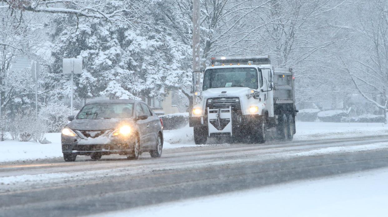
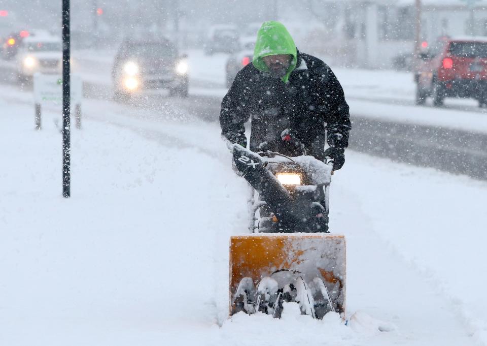
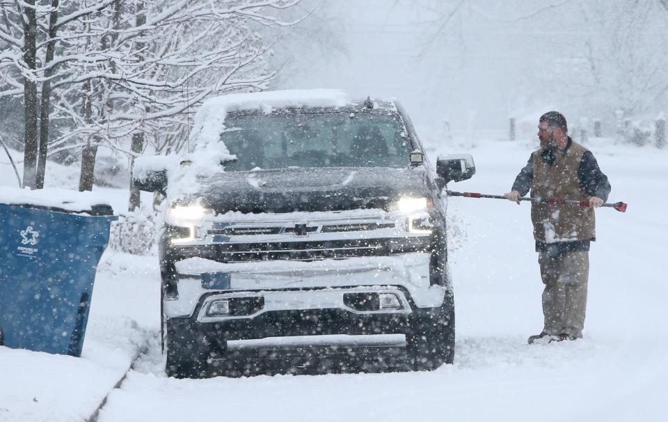
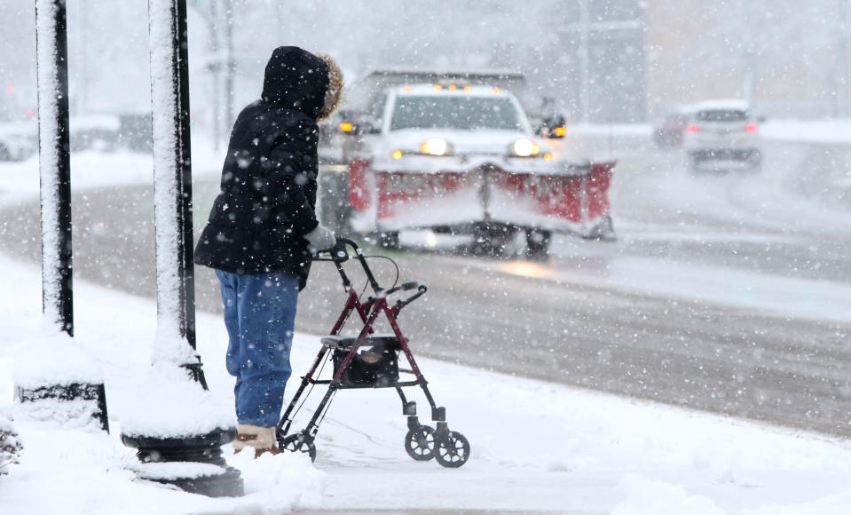
A winter storm is playing havoc with roads by quickly dumping a heavy, wet snow system on Wednesday in northern Indiana and southwest Michigan.
But, with lighter lake-effect snow to follow it later in the week, it also could — possibly — restore sledding and tubing hills. Maybe even cross-country skiing, where a base of four to six inches is typically needed. As for snowmobiling, that will depend on how thinly the snow packs down if and when volunteers groom the local trail systems.
January 2022:How to ensure we don't lose snowmobile trails in Indiana and Michigan
Winds were forecasted to gust up to 20 mph to 25 mph Wednesday, which didn't raise concerns about drifting because the wet snow would mostly stick to the ground, according to meteorologist Rachel Cobb with the National Weather Service in North Webster, Ind. But the large, blowing flakes were expected to make it harder to see, cutting visibility at South Bend International Airport down to less than one mile, she said.
The heavy, wet consistency of Wednesday's snow is because it drew moisture out of Texas and the Gulf of Mexico, Cobb said.
Wednesday's forecast called for three to five inches across much of The Tribune’s readership area in northern Indiana, though closer to two to four inches in northwest parts of Berrien County.
WSBT reports that the heaviest snow was expected southeast of South Bend, especially toward Fort Wayne and Ohio.
Then, on Wednesday night and Thursday, a wave of lighter, fluffier lake effect snow could bring another two to four inches to St. Joseph County and the surrounding area, with the highest amounts in Berrien County, northern LaPorte County and northwest St. Joseph County. Gusts of 15 mph to 20 mph and minor drifting are expected. More light snow, maybe one to two inches, could arrive Friday afternoon and evening, along with a couple of inches across the area on Saturday and Sunday.
Winter events:Join a snowy winter fest, watch for comet or check out boat show
Temperatures aren’t expected to rise much above freezing through the week, while the lows could hit 15 degrees Sunday night and 10 degrees Monday night.
Find outdoor columnist Joseph Dits on Facebook at SBTOutdoorAdventures or 574-235-6158 or jdits@sbtinfo.com.
This article originally appeared on South Bend Tribune: Winter storm forecasts snow and gusty winds for South Bend area

