Winter solstice: What to know about the shortest day and longest night of the year
ASHEVILLE - The holiday season brings joy and cheer, but also perhaps certain relatives who can make the days feel like they just won't end. But perception is not always reality. The winter solstice is Dec. 21, the shortest day of the year in the Northern Hemisphere. Night owls might look at the evening of Dec. 21 as the longest night of the year.
No matter how one perceives the shortest day, or longest night, here's what you should know about this year's winter solstice:
When is the winter solstice?
The winter solstice is Dec. 21 in the Northern Hemisphere, marking the first day of winter. According to the organization Sunrise-Sunset, sunrise in Asheville will occur at 7:34 a.m. Dec. 21. The sun will set at 5:22 p.m. It will be the shortest day of the year, totaling 9 hours, 47 minutes and 48 seconds of daylight.
What is the winter solstice?
Winter solstice marks the beginning of astronomical winter. It occurs when the Earth is tilted as far away from the sun as possible, according to the Old Farmer's Almanac. According to the National Weather Service, this happens when the sun is directly over the Tropic of Capricorn, which is 23.5 degrees south of the equator.
When will the days get longer?
The days in Asheville will become longer starting Dec. 22 and lasting until June 21, which is the summer solstice, the longest day of the year.
National Weather Service Meteorologist Harry Gerapetritis told the Citizen Times Dec. 20 that temperatures in Asheville will reach 57 degree Dec. 21. It will be partly sunny with light winds. During the evening of Dec. 21, temperatures will dip to 34 degrees.
What is the origin of the word 'solstice'?
The word 'solstice' is derived from Latin words 'sol,' which means 'sun', and 'sistere,' which means 'to stand still.' Together that means 'sun stands still.' This is because the sun does not appear to move in the sky in the days before and following the solstice around noontime, according to the Old Farmer's Almanac.
Where to celebrate the solstice in Asheville?
Conserving Carolina is hosting an evening walk to Hooker Falls in DuPont State Recreational Forest. The hike is weather dependent and slots are just about full.
If you can't go with the nonprofit environmental group, this is an easy hike to take on your own. Just be sure to bring a flashlight or a headlamp, and extra batteries.
The 10,000-acre state forest about an hour southwest of Asheville in Henderson and Transylvania counties is free and open year-round. There are more than 80 miles of roads and hiking trails, some open to just hikers, some to hikers, horses and mountain bikers.
The state forest is most well-known for its lovely waterfalls, including the easy 0.75-mile-round-trip Hooker Falls. To reach the forest from Asheville, take I-26 east toward the Asheville Airport. Exit at the Airport/Exit 40, head south on N.C. 280 for about 16 miles. Turn left onto U.S. 64 (heading east) for about 4 miles. In Penrose, turn right onto Crab Creek Road for about 4 miles to DuPont Road. Turn right on DuPont Road and continue for 3.1 miles. Look for Hooker Falls sign on the right.
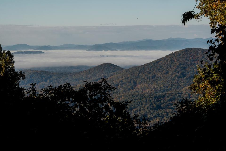
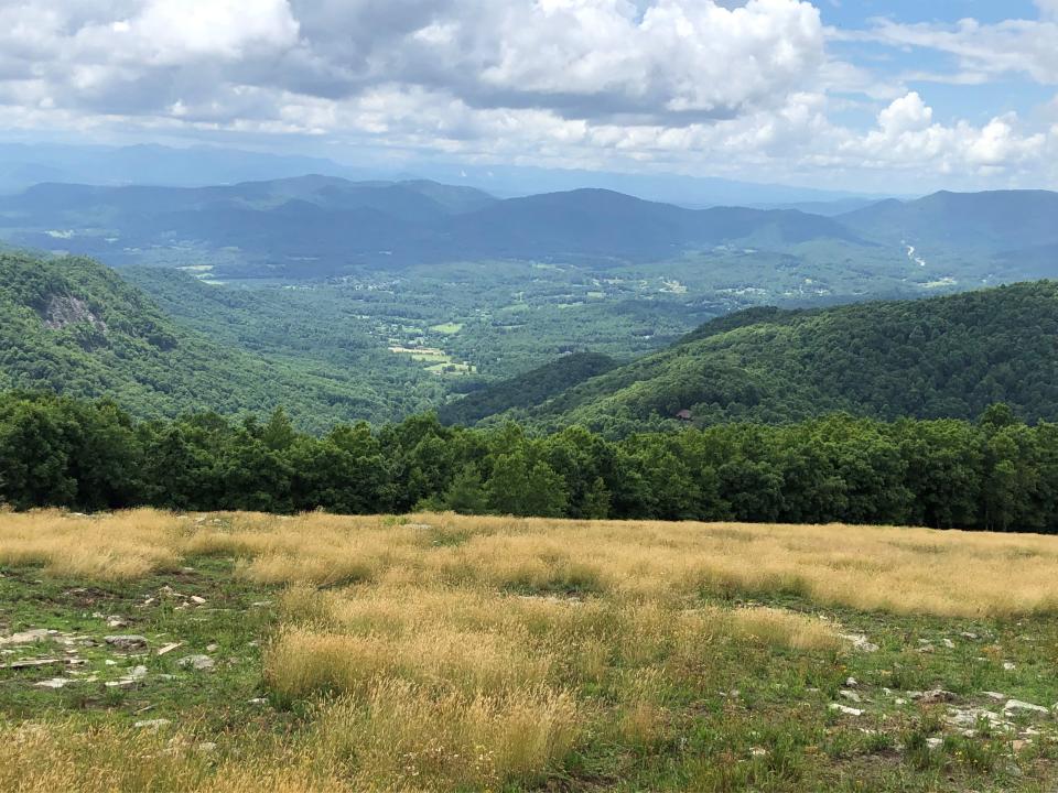
Hikers can also view the sunset at Bearwallow Mountain in Henderson County, a trail owned and managed by Conserving Carolina. It is about 1 mile to the summit of a mountain bald at an elevation of 4,232 feet, with expansive views of the night sky. Hike up through the woods, but return on the dirt road, which is easier to navigate at night. Bring a flashlight.
From Asheville, take I-240 to U.S. 74 Alt East toward Bat Cave. Stay on U.S. 74 Alt for about 12.5 miles. At Gerton (after a series of curves in the road), turn right onto Bearwallow Mountain Road, which is a residential area at the bottom. Continue for 2.1 miles up this road, which will turn to gravel and become steeper as you climb. When you reach the top, you’ll see a metal gate on the left, which is at the entrance to the trail. The road is paved again at the top and you can park on the left or right side of the road.
Mitchell Black covers Buncombe County and health care for the Citizen Times. Email him at mblack@citizentimes.com or follow him on Twitter @MitchABlack. Please help support local journalism with a subscription to the Citizen Times.
This article originally appeared on Asheville Citizen Times: When will Asheville days get longer winter solstice

