Significant winter storm hits Mohawk Valley
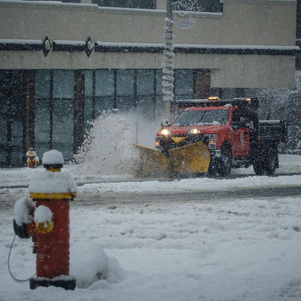
The Mohawk Valley area is expecting a major snowstorm Friday evening into Saturday afternoon.
According to alerts from the National Weather Service, Oneida County could see up to 10 inches of snow, with up to 14 inches of snow in Herkimer County. A light glaze of ice is also in the forecast in Oneida County.
Windy conditions with gusts of 40 mph are expected in Oneida and Herkimer counties. Travel could be treacherous, particularly during the Friday evening commute.
Here are the latest updates:
Winter storm warnings continue in Oneida, Herkimer counties
Winter storm winding down. A little lingering snow, sleet, and freezing rain will continue in CNY and the northern tier of NEPA this morning. By noon temperatures will be above freezing. #nywx #pawx pic.twitter.com/MuEDw2m3dD
— NWS Binghamton (@NWSBinghamton) March 4, 2023
A winter storm warning continues until 1 p.m. Saturday for Oneida County. A wintry mix is expected to become light and rain snow showers by noon, according to the National Weather Service.
Snowfall totals include some sleet today. Less than an inch of snow is expected today, with the most expected in Oneida and Otsego counties. Northern Oneida County is forecast to get between one and two inches additional snowfall this afternoon.
Winter Storm Warning has been expanded to include eastern Albany County. #nywx pic.twitter.com/K97vi7tLU8
— NWS Albany (@NWSAlbany) March 4, 2023
The winter storm warning for Herkimer County continues until 7 p.m. Saturday. Snow, mainly before 1 p.m., then snow showers likely after 1 p.m. is expected. Winds could gust as high as 29 mph. Chance of precipitation is 100%. Total daytime snow accumulation of 1 to 3 inches possible, according to the National Weather Service.
Light to occasionally moderate snow will continue this morning, then become lighter and gradually taper off this afternoon. Rain may even mix in across some valley areas. This map shows forecast additional snowfall after 7am this morning. #nywx #vtwx #mawx #ctwx pic.twitter.com/8lKeHCOx2T
— NWS Albany (@NWSAlbany) March 4, 2023
Snowfall totals
In the Utica-Rome area, snowfall records are difficult to pinpoint. The former Griffiss Air Force Base (1949-1995) and Oneida County Airport (1951-2000) no longer collect snowfall data, so those numbers have since 2000 been provided through the Cooperative Observer Program and Community Collaborative Rain, Hail and Snow Network stations, according to information provided by the National Weather Service (NWS).
Here is the link to the NWS snowfall totals: https://www.weather.gov/bgm/helpPublicInformationStatements.
Municipalities declare snow emergencies
Some municipalities in the Mohawk Valley have declared a snow emergency in expectance of tonight's anticipated snowstorm.
The city of Utica has announced a snow emergency effective at 10 p.m. tonight. All cars must be off the street so plows can clear the roads.
The snow emergency will remain in effect until further notice.
🚨❄️ SNOW EMERGENCY ❄️🚨
Here we go again! Be sure to remove your vehicles from city streets to allow for snow removal. pic.twitter.com/t188FsBDWD— The City of Utica, NY (@CityofUtica) March 3, 2023
In anticipation of this evening’s snow and sleet event, the village of Frankfort in Herkimer County is asking that all vehicles be off the Village streets by midnight tonight through tomorrow at 1 p.m.
Latest on the storm from NWS
The National Weather Service (NWS) has updated what and when people in New York can expect from tonight's anticipated storm. Some snowfall amounts have changed.
For our latest more detailed briefing go here https://t.co/pCBJMoySY0
Precipitation will start as snow, however, warmer air aloft will change snow to sleet from south to north tonight and this will limit snowfall totals for most of the region. pic.twitter.com/K1FOxPj7lL— NWS Binghamton (@NWSBinghamton) March 3, 2023
How to report a power outage
National Grid has increased staffing and is extending evening and overnight work shifts in preparation for heavy snow, high winds, and the potential for ice and freezing rain across upstate New York Friday and Saturday. In addition, the company has activated its comprehensive emergency response plan.
To report or check on an outage go to https://www1.nationalgridus.com/outages or call 1-800-867-5222.
Storm timeframe update
The storm is expected to hit the Rome and Utica area around 7 p.m. tonight, according to the National Weather Service (NWS). Weather and road conditions will be the worst this evening.
Gov. Hochul asks upstate residents to prepare for storm
Gov. Kathy Hochul has urged upstate residents to prepare for tonight's anticipated storm.
Winter isn't over yet New York! ❄️@GovKathyHochul is urging New Yorkers to prepare for another winter storm that will impact most of the state this weekend, likely bringing snow, mixed precipitation & high winds tonight into Sat afternoon.
📰https://t.co/pYHWYmUW8z pic.twitter.com/NV8ssDLRZZ— NYS Div. of Homeland Security & Emergency Services (@NYSDHSES) March 3, 2023
How much snow is expected in Herkimer County
Herkimer County is expected to receive the most snow, according to a Friday morning winter storm warning issued by the National Weather Service office in Albany
Heavy snow is expected, with total accumulations of up to 14 inches possible. Winds could be as high as 40 mph.
The weather service expects the snow to begin Friday evening, becoming moderate to locally heavy Friday night into Saturday, before tapering off Saturday afternoon.
Travel could be difficult and may involve snow-covered roadways.
Increasing clouds today with snow beginning this evening, chance of rain Kingston to Poughkeepsie. Change to a wintry mix tonight along and south of Mohawk Valley to northern Berkshires. Possible mix with freezing rain eastern Catskills, southern Taconics and Litchfield Hills. pic.twitter.com/tTdCGftkkH
— NWS Albany (@NWSAlbany) March 3, 2023
How much snow is expected in Oneida County
Oneida County is expected to fare a little better than Herkimer County – but not by much.
According to a Friday morning winter storm warning report from the NWS, heavy snow is possible in the county, which may mix with sleet and freezing rain briefly. Seven to 10 inches of snow is expected, with a light glaze of ice accumulation possible.
Winds could gust as high as 40 mph.
A storm will bring a wintry mix to our area late today into Saturday. A winter storm warning is in effect for Oneida and Otsego Counties in CNY. Advisories rest of CNY/NEPA. Travel could be difficult. For more details see our briefing online at https://t.co/pCBJMozqNy#pawx #nywx pic.twitter.com/Ute3kvMjCS
— NWS Binghamton (@NWSBinghamton) March 3, 2023
This article originally appeared on Observer-Dispatch: Oneida County Weather: Winter storm hits Mohawk Valley

