Winter storm expected to bear down on Midwest; Here's how much snow could hit Springfield
Springfield may experience at least some of the effects of a winter storm that will hit much of the Midwest Monday night into Tuesday, bringing with it the possibility of snow and high winds.
The National Weather Service in Lincoln said that as of Friday afternoon, Springfield and areas to the south have a 40% chance of seeing "minor" impacts from the storm, which will make its biggest impacts out to the north and west of Springfield and central Illinois.
In addition, Springfield and the surrounding area have a 50% chance of seeing at least two inches of snow, with a 20% chance of getting over six inches.
Chuck Schaffer, a meteorologist with the NWS, said that those early projections haven't changed much in recent days, with a disturbance currently over the Pacific Ocean moving southeast towards the Southwest before moving northeast towards central Illinois.
"It's forecasted to project northeast into the Midwest (and) the Ohio Valley region Monday night and Tuesday," Schaffer said. "It should intensify pretty rapidly as it does so, so that area of low pressure should be deepening and bringing up a lot of moisture from the Gulf of Mexico. That will produce widespread precipitation starting late Monday night as rain."
In Springfield, the system will arrive as rain Monday afternoon into Tuesday, with a significant chance that it could change over into snow as colder air moves in. However, John Bumgardner, another NWS meteorologist, points out that the snow chances, as good as they are, aren't set in stone just yet.
"Where exactly it changes over to snow and how much snowfall remains pretty uncertain," Bumgardner said. "The thing about this low is that with it pulling a lot of warmth and moisture up from the south, there really is not a ton of cold air to work with, so some of our models are showing there's going to be rain east of the low, all that warm air gets pulled up from the south.
Then, on the west side of it, there's going to be a band of snow somewhere and further west beyond that, there could even be rain because the snow is partially going to be driven by precipitation rates, which, through evaporation, cools the lower atmosphere. Wherever we have those heavier rates of precipitation, we're most likely to see snow."
NWS has identified two possible tracks for the storm. The most likely one will have less snow and travel impacts more to the northeast. However, another track – with a 35% probability of occurring, has Springfield with a 40% chance of seeing around over six inches of snow, with areas out to the west having a higher probability.
Bumgardner said that those tracks are created through 103 separate models that show different situations for how a storm could develop. The two separate tracks are referred to as "clusters" and they provide NWS with an idea of what could happen.
"That's not to say that within those 35 models that have the heavier snow, there (isn't) some variability," Bumgardner said. "Some models have way more snow and some have less, but they've been clumped together that way due to similarities between the models.
It might be a little bit of an oversimplification, but I think it gets the message out there that there's one outcome with mostly rain, maybe some light snow accumulation for Springfield and then another one that's going to be moderate-to-heavy snow."
Wind gusts are also expected to be a problem, with Bumgardner saying that there was a 80% chance of winds gusting over 30 mph and a 40-50% chance of 40 mph wind gusts with the system. The snow also will be heavy, wet snow, which may lead to downed tree branches and isolated power outages.
While forecasters don't exactly know yet just how much snow will fall, Schaffer said the exact time the change-over occurs will impact the amount that falls on communities.
"There's going to be a lot (of liquid) with this system – maybe an inch or more of rain or melted snow," Schaffer said. "The wind will be very strong – we could see some wind gusts near or over 40 mph."
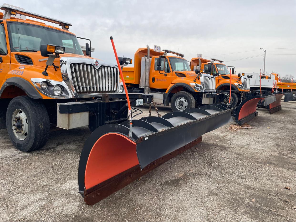
As far as ensuring that roads will stay smooth across central Illinois and statewide, the Illinois Department of Transportation has enlisted 1,800 trucks, 1,700 full-time employees, and temporary employees to keep things moving. They'll be equipped with 558,000 tons of salt to spread on slippery roads and sidewalks across the state.
"Our salt domes are at 105% of capacity," said Paul Wappel, spokesperson for IDOT.
Travelers are asked to make sure that a trip is an important enough one to go out for, and if so, to drive slow, be careful on icy areas, and be prepared with an emergency kit that includes jumper cables, flares, wiper fluid, non-perishable food items, water and an ice scraper.
In addition, IDOT emphasizes that motorists give snowplows enough space to operate and drivers can see other vehicles on the roadways.
"Please don't crowd the plow," Wappel said. "Give the operator plenty of room to do their job. A snowplow operator's field of vision is restricted. You might see them, but they may not see you. If any plow gets hit, that's one less resource to clear the roads. The road in front of the snowplow is not going to be better than the one behind it."
This article originally appeared on State Journal-Register: Winter storm hitting Midwest; how much snow could Springfield get?

