How much snow is Indianapolis going to get? NWS gives latest predictions on winter storm
Editor's note: For the latest on the winter storm, follow our live blog here.
Stay home, if you can.
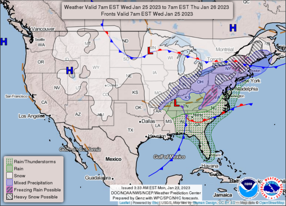
That’s the word from the National Weather Service Indianapolis in an update on the winter storm headed for Central Indiana. The storm could dump as much as 11" of snow in some parts of the state, Tuesday afternoon predictions indicate.
The Indianapolis area, however, is expected to get between 5-8" of snow.
Much of Central Indiana is under a winter storm warning with two waves of snow expected – the first focused south of I-70, and the second to the north.
Although there’s a potential for a wide range of snowfall amounts across Central Indiana, snow piles will be highest between Greencastle and Kokomo.
Snowfall rates are expected to be the highest Wednesday morning, making for hazardous rush hour commutes, the service said during a briefing Tuesday afternoon.
This is the current expectation for snowfall timing across central Indiana. Initial snow could be mixed with rain but will transition to predominately snow within the 6 am to 9 am timeframe. Heaviest snowfall should taper off in the early afternoon. #INwx pic.twitter.com/cGQ29dZgva
— NWS Indianapolis (@NWSIndianapolis) January 24, 2023
The initial wave will come in about midnight and run through 6 a.m. Wednesday with the highest snowfall at that point likely to be south of I-70.
The second wave, expected to be more impactful to the Indianapolis area, will come in about daybreak and continue through the bulk of the rush hour into early afternoon Wednesday. That wave will leave the most snow north of I-70, said David Beachler, science and operation officer at the National Weather Service Indianapolis.
Daybreak to rush hour Wednesday, the snowfall will be moderate to heavy and will peak mid-to-late morning.
Winter Storm Warnings are now in effect across central Indiana. Expect a broad area of 4 to 8 inches of snow with higher amounts north and west of Indianapolis. Further south, rain and some dry air may limit amounts. Precipitation should begin around midnight tonight. #INwx pic.twitter.com/2LEFKDsOap
— NWS Indianapolis (@NWSIndianapolis) January 24, 2023
Indianapolis shelters:Find warming center hours and locations during winter storm in central Indiana
Snow will continue through Thursday morning.
The Seymour region and other southern areas will see the bulk of snowfall begin at 3 a.m. Wednesday and continue through the afternoon when a slight rainstorm is possible.
Indianapolis winter storm:Snow and ice are back, Indiana. In case you forgot, here's how to drive in it
As the snow is moving through Wednesday, the high will be about 35 degrees, with a low of about 30.
Colder air arrives on Thursday with a high near 32 degrees, and a low of 22.
Keep track of the National Weather Service's winter storm watch at weather.gov.
A Winter Storm Watch is now in effect from late Tuesday night into Wednesday afternoon. Heavy snowfall is the primary concern, with 5 to 9 inches possible. Some mixing with rain is possible south of I-70 which may limit accumulations a bit. #INwx pic.twitter.com/4uEFtr9nrw
— NWS Indianapolis (@NWSIndianapolis) January 23, 2023
Contact IndyStar reporter Cheryl V. Jackson at cheryl.jackson@indystar.com or 317-444-6264. Follow her on Twitter:@cherylvjackson.
This article originally appeared on Indianapolis Star: Winter storm warning in Indiana: Brace for snow Tuesday night into Wednesday

