Northeast Kansas sees 'once-in-a-generation' winter storm. Wind chill plunges 56 degrees.
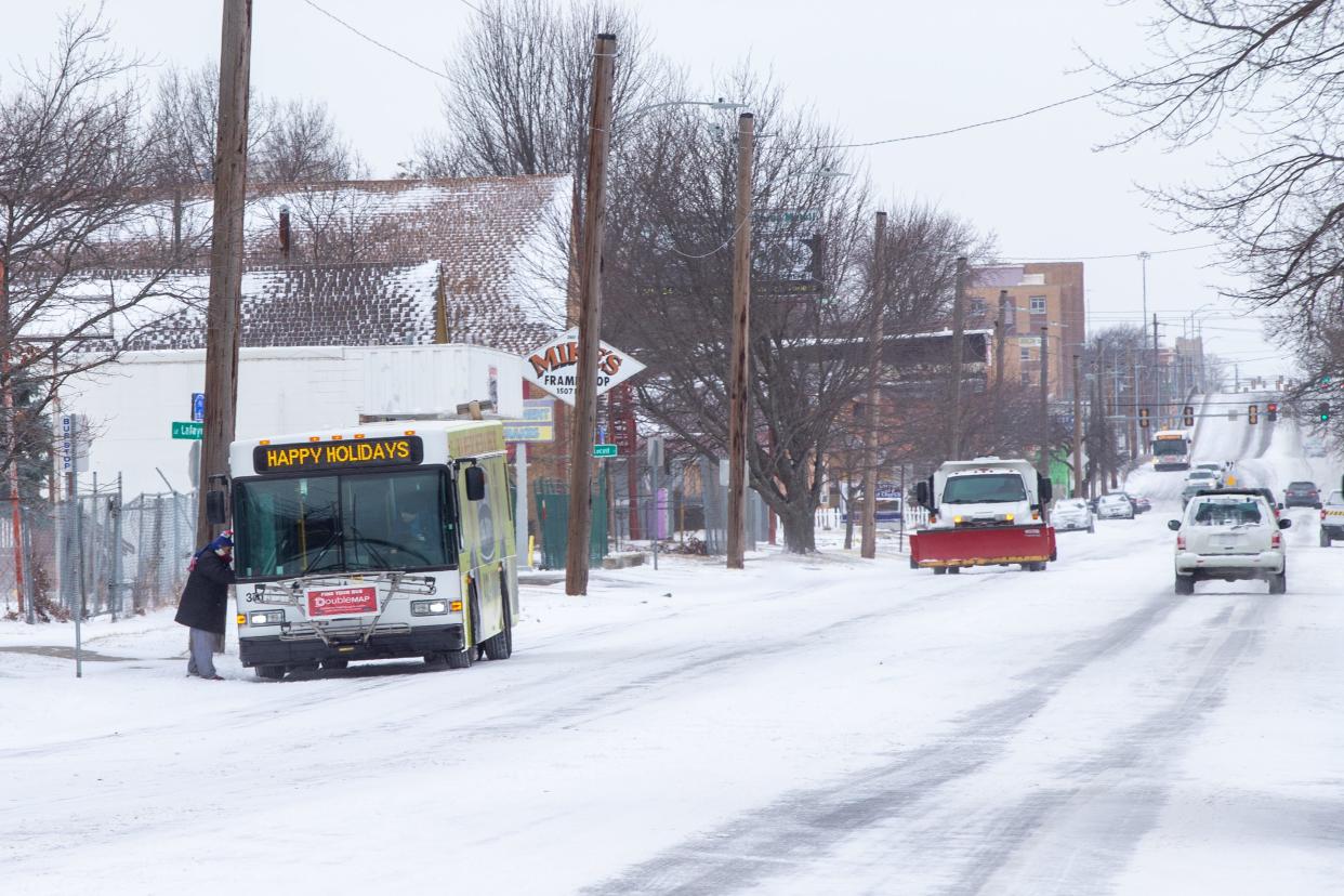
Topeka's wind chill index dropped by 56 degrees late Wednesday and Thursday as a treacherous winter storm entered northeast Kansas, covering streets first with ice, then with light snow.
The National Weather Service used the term "once-in-a-generation" storm to describe Thursday's blast of Arctic air, which affected much of the U.S.
High winds were blowing snow across roads Thursday morning, causing slick spots and reduced visibility, said the Northeast Kansas Facebook site for the Kansas Department of Transportation.
"Stay home if you can and give our crews time and space to work," it said.
The weather service reported the wind chill index at its Topeka office near Philip Billard Municipal Airport plunged 32 degrees in two hours, from 27 at 11 p.m. Wednesday to minus 5 at 1 a.m. Thursday; and 56 degrees in 14 hours, from 27 at 11 p.m. Wednesday to minus 29 at 1 p.m. Thursday.
Wednesday was the first day of winter.
Kansas storm was accompanied by light snow
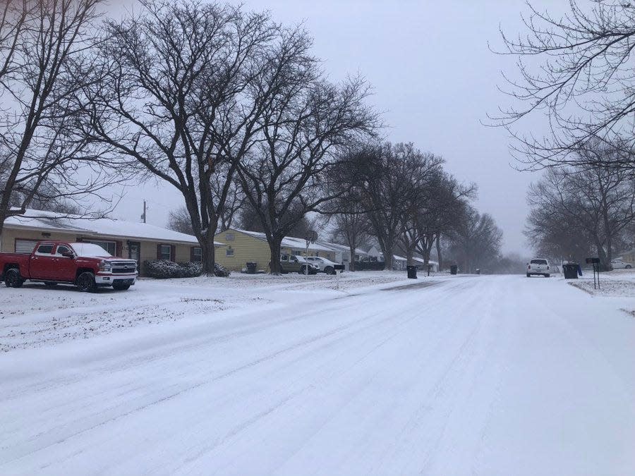
One-half inch of snow had fallen at the Topeka weather service office, said Sarah Teefey, meteorologist for that office.
The highest snowfall amount recorded from the storm was 2 inches, near Emporia in east-central Kansas and at Minneapolis in north-central Kansas, she said.
Winds were expected to continue to stay very strong, bringing continued blowing snow throughout the day, Teefey said.

Officials for several days had been warning of the approaching storm and decreasing wind chills.
The National Weather Service had issued a winter storm warning, which was in effect through midnight Thursday, and a wind chill warning, which was in effect through noon Friday.
Rhonda Hager Simpson prepared by doing everything on Wednesday that she normally does on Thursdays and Fridays, she said in response to a question posed by The Capital-Journal on The Topeka Experience Facebook site.
"Staying in the house today and tomorrow," she said.
Many employers, including Shawnee County, the city of Topeka and the state of Kansas, had given workers the day off.
Authorities weren't seeing many crashes Thursday morning, with minimal traffic potentially being among the reasons.
Topeka police as of 9 a.m. Thursday were at the scene of one traffic hazard call and one non-injury crash, said Rosie Nichols, public safety communications specialist for Topeka's city government.
For some, the power was out
The Evergy electrical utility reported at 10 a.m. Thursday it was dealing with 11 power outages affecting 184 homes and businesses in Topeka and 27 outages affecting 2,194 customers in the Kansas City, Kan., area.
The Topeka Police Department announced at 12:01 a.m. Thursday it had implemented its walk-in accident reporting phase, in which officers will respond only to scenes of crashes that involve injury, possible impairment, hit-and-run drivers, disabled vehicles, hazardous materials, disturbances or major congestion.
Drivers in all other accidents were asked report to police headquarters at their earliest convenience, according to a news release.
The Shawnee County Sheriff's Office reported it then put its walk-in accident reporting phase in place at 5:15 a.m. Thursday.
What's next in the weather forecast?
The frigid conditions are expected to continue.
The weather service predicted Topeka would see a minimum temperature Thursday night of minus six, with a wind chill index of minus 23 to minus 28.
Friday was expected to bring a high around 10, with wind chills of minus 18 to minus 28.
Topeka's forecast for Friday night calls for a low around minus one, with wind chills of minus eight to minus 15.
Saturday is expected to bring a high around 17.
Among the coldest wind chills in their lives
Thursday and Friday were anticipated to be among the coldest days in their lives for most Topekans in terms of wind chill.
Though the weather service doesn't keep wind chill index records, it said this week's storm was expected to bring Topeka's coldest wind chills since a low of minus 41 was recorded here in December 1989.
That minus 41 reading wouldn't be so low today, as the formula the weather service uses now to determine wind chill indices doesn't result in wind chills as low as those calculated under the formula that was in effect in 1989.
The weather service in November 2001 implemented an improved chart that uses advances in science, technology and computer modeling to provide a more accurate, understandable and useful formula for calculating wind chills.
While the prior formula found that a temperature of 5 degrees combined with 15 mph winds brought a wind chill index of minus 25, that figure is only minus 13 under the current formula.
Friday will mark the 33rd anniversary of the day Topeka saw its lowest temperature on record, when the mercury here dropped to minus 26 degrees on Dec. 23, 1989. The Capital City saw a low temperature of minus 22 on the previous day, Dec. 22, 1989.
Contact Tim Hrenchir at 785-213-5934 or threnchir@gannett.com.
This article originally appeared on Topeka Capital-Journal: 'Once-in-a-generation' storm drops Topeka's wind chill to minus 29

