Winter storm warning issued for most of Illinois; travel conditions could become dangerous
The season's first winter storm is bearing down on central Illinois, bringing with it bitter cold, high winds, and snow.
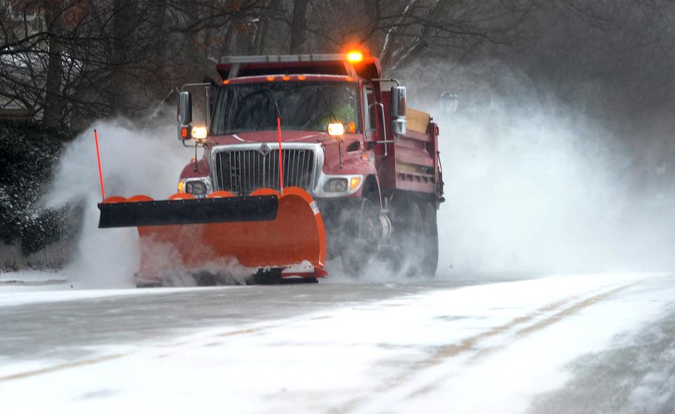
Much of central Illinois – including Sangamon County, remains under a winter storm warning through 6 a.m. Saturday. While snowfall isn't expected to be too onerous – 1-3 inches predicted – the combination of snow and extremely high winds will lead to blizzard-like conditions and blowing snow for much of Thursday and Friday.
Sangamon County declared a level one emergency warning residents of hazardous road conditions resulting from the extreme weather. Business, government, and transportation cancellations Thursday were expected to continue into Friday.
What are the conditions?
By mid-afternoon, the National Weather Service in Lincoln reported moderate snowfall in east central Illinois, with lighter amounts coming down throughout the rest of the area.
In Springfield, light snow was falling at NWS' station at Abraham Lincoln Capital Airport and across the area. NWS meteorologist John Bumgardner said that the band of moderate to heavy snow had moved through early in the afternoon, with lighter snow coming as the day progressed.
"The back edge of it is still several hours away at this point," Bumgardner said.
Bumgardner said that the snow will likely stop falling between 6-8 p.m. depending on how quickly the system can move through the area. However, with high winds and blowing snow, visibility will be a factor for people traveling.
"We expect visibility to remain low," Bumgardner said. "We've got a lot of three-quarter-mile to one-mile visibility reports around Springfield in the last couple of hours and it seems like it's quite a bit worse in open spaces."
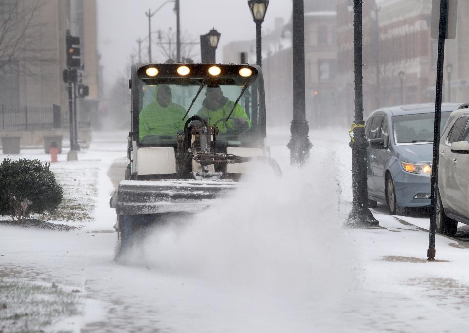
Illinois Department of Transportation officials reported some roads in and around Springfield partially covered with ice or snow, including areas along Interstate 72 west of Springfield, Illinois 4 – including Veterans Parkway – from J. David Jones Parkway to Virden; Illinois 29 from J. David Jones Parkway to the Menard County line; Illinois 97 – including Jefferson Avenue – from Amos Avenue to the Menard County line; Illinois 125 from Illinois 97 to the Menard County line.
Also, Old Route 54 – including Wabash Avenue – from the MacArthur/Stanford intersection to the Morgan/Scott county line; Illinois 104 from the Christian County line through Jacksonville; MacArthur Boulevard from Lenox Avenue to Recreation Drive; Clear Lake Avenue from 11th Street to the Interstate 55/72 junction; and portions of the I-55 business route in Sherman.
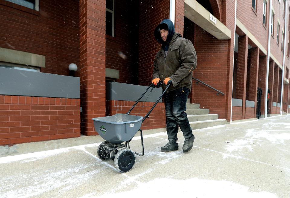
IDOT officials advise drivers to go slow on icy roadways, in particular intersections and bridges known to ice up, have an emergency kit ready in the vehicle, inform people of their location, and wear a seatbelt.
Sangamon County declared a level 1 winter weather emergency Thursday afternoon. The county's winter weather alert system largely refers to the conditions of county roads, and an online map from the Sangamon County Highway Department showed that many county roads were partially covered with snow or ice as of 2:36 p.m. Thursday.
The county recommends that those who do plan to travel on those roads use caution.
Bumgardner recommended that people travel in more urbanized settings where people could work with better maintained roads and less drifting snow.
"(The trouble) is really when you get outside the urbanized areas," Bumgardner said. "Because the winds are out of the northwest, it's not like it's going to target specific roads that travel in a specific direction like east, west, north, south. When you're in town, it's going to be a lot less hazardous."
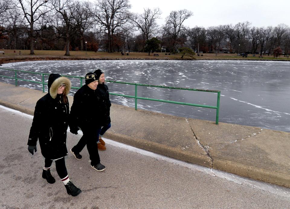
Blowing snow was expected to start about 3 p.m., with winds picking up to around 20-25 mph around that same time, gusting at 38 mph. By nightfall, temperatures were predicted to fall to -6 degrees with a wind chill reaching -33 degrees thanks to wind gusts up to 43 mph.
Conditions will become more brutal on Friday, with blowing snow expected for much of the area and icy temperatures projected. A high of 3 degrees above zero is expected, with wind gusts up to 40 mph keeping wind chills extremely low.
Bumgardner said that Friday was when the visibility would be worst for drivers as they have to navigate the blowing and drifting snow.
"We'll have the strongest winds from midnight tonight to 6 p.m. tomorrow," Bumgardner said. "Right now, we're gusting (from) 30-35 mph, but in that time, we should see gusts of up to 40 mph (and) on the high end, maybe pushing 50 mph. It's going to feel really cold and as much blowing and drifting as we're getting right now, we'll have even more in that time."
By Friday night, the blowing snow will become patchier, as wind gusts remain in the 40 mph region. The blowing snow events will end by Saturday, with conditions clearing up by the evening.
What travelers should expect
The storm comes as many people will travel to see loved ones for Christmas. Travelers should be aware of the conditions between home and their destination.
For example, those driving to Chicago should expect 3-5 inches of snow with heavier amounts in parts of northwest Indiana. St. Louis, for instance, will see frigid temperatures but less of a risk of blowing snow than in areas north of the city.
IDOT spokesperson Paul Wappel said that crews were out mainly doing snow removal on roadways throughout the area.
Amtrak said that four Lincoln Service trains – 300, 301, 305 and 306 – were canceled through Sunday. Amtrak spokesperson Marc Magliari said that out of the five trains that typically run through Springfield, only three were operating Thursday. Those who had tickets on the four routes had been notified and received either a refund or an opportunity to rebook on another train.
Both Greyhound buses passing through Springfield along the Chicago-Memphis route were canceled.
For motorists, if the road is slick and the vehicle starts to slide, AAA recommends the driver take their foot off the gas and let the wheel turn freely before putting the wheel into the direction of the slide before straightening out. In order to avoid sliding, slow down, allow extra space between cars, have winter tires installed, don't use cruise control, and add weight to the vehicle trunk.
Where to get warm
The city has set up various warming centers to allow those who need shelter in cold weather to have a place to go. The Christmas holiday has impacted when particular places will be open, but several will still be in service, including the city's overflow shelter with the Salvation Army on North 11th Street.
Here's a list of those shelters:
City's offices, with the east end open from 8 a.m.-5 p.m. and the west end open from 9 a.m-5 p.m. Thursday. City departments are closed Friday-Monday due to the Christmas holiday.
Lincoln Library, from 10 a.m.-5 p.m. Thursday. The library will be closed Friday-Monday due to the Christmas holiday.
White Oaks Mall, from 11 a.m.-7 p.m. Monday-Thursday, 11 a.m.-8 p.m. Friday-Saturday and noon-6 p.m. Sunday
The Salvation Army overflow shelter and main campus, with the main campus open from 9 a.m.-4 p.m. Monday-Friday and the overflow shelter open 24 hours starting Thursday.
The Washington Street Mission, from 7:30-10 a.m. and 12:30-3:30 p.m. Monday-Friday. The site will be closed on Christmas Eve and Christmas Day.
St. John's Breadline, from 8-9 a.m. for breakfast and 10:30 a.m.-1:30 p.m. for lunch Monday-Friday and 10:30 a.m.-1:30 p.m. Saturday, Sunday and all holidays for lunch.
The Springfield Police Department will be on patrol around the Salvation Army overflow shelter in order to help people get into the facility for warmth, a meal and needed services.
Keep pipes from freezing
With the brutally cold temperatures forecasted, check the condition of household pipes to avoid them freezing.
City Water, Light & Power recommends that people use proper insulation or heat tape to protect the pipes. In a mobile home, check the heat tape in order to make sure that it is in good working order.
Regardless of the style of home, CWLP encourages caulking any cracks and holes in the walls and foundation near water pipes and repairing broken windows in basements. Any exterior crawl spaces should be covered with foam board insulation that can be removed when the weather gets warmer.
One of the easiest ways to keep pipes from freezing is to turn on hot and cold faucets to relieve any excess pressure in the pipes.
Sometimes even the best efforts may not be enough to prevent a broken pipe. If that is the case, CWLP recommends that if the pipe has burst, shut off the main water valve and call a plumber to help fix the broken pipe. If the valve can't be reached and you are within the coverage area for CWLP's Water Division, call them at (217) 789-2323.
If the pipe hasn't burst, people are asked to turn on their faucets and allow above freezing water to flow. CWLP asks that people warm the pipe closest to where water enters the home when doing this.
In addition, people are asked to keep an eye on any electric equipment used to thaw pipes, as they can cause electric shock if left unattended. CWLP strongly encourages people not to use open flames to try and thaw pipes, as that may cause a fire through pipe explosion.
This article originally appeared on State Journal-Register: Here's what you need to know about the winter storm hitting Sangamon County

