Winter storm watch updated: Prepare for damaging ice storm in Anderson
This weekend's snowy bliss may be more of "a wintery mess" as Anderson and Upstate forecasts are trending toward ice, National Weather Service meteorologist Clay Chaney said Friday morning.
The National Weather Service updated its Winter Storm Watch on Friday to call for less snow accumulation and more ice for parts of the Upstate this weekend.
Snow totals forecast for South Carolina have dropped and now more ice is expected, according to the latest forecast before noon Friday.
Anderson County is expected to see 0.25 to 0.5 inches of ice, according to the National Weather Service.
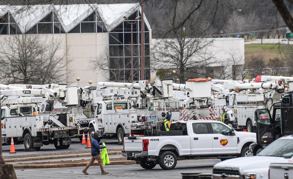
"Travel could be nearly impossible across the entire area. At least scattered power outages and tree damage are likely across the Piedmont due to the ice as well as gusty winds," the winter storm watch said.
Greenville, Spartanburg and Anderson were highlighted in red on a weather service map. Areas highlighted in red should prepare for a damaging ice storm, according to the weather service.
Temperatures will drop as low as 28 degrees Saturday night in Anderson, according to the NWS.
The Weather Channel on Friday morning forecast a 100% chance of snow with some ice or freezing rain possible in Anderson — with one to three inches of snow and ice accumulation Sunday.
The NWS area forecast discussion warns of freezing rain potential:
"In general, guidance continues to trend (as it often does as these events draw nearer) toward a more prominent warm nose pushing into the forecast area early Sunday. This is expected to allow a narrow transition zone of sleet/wintry mix to develop over the Piedmont Sun morning, which will steadily shift north and west throughout the morning. Unfortunately, this trend also suggests more freezing rain potential for locations from roughly the northeast GA and SC Piedmont through the southern NC Piedmont, as developing strong CAD should support surface temps cold enough for icy conditions despite the expectation of a stronger warm nose. Damaging accumulations of ice therefore appear more likely along and south of a line from Anderson to Spartanburg to Gastonia, to Salisbury, including Charlotte and vicinity."
Forecast: Wonder why local TV networks often make different snow predictions?

Weather forecast for the MLK holiday weekend
With the bulk of the storm on Sunday, the winter storm watch said:
"Widespread black ice should be expected Monday morning, and may be a concern into the middle of the week."
Here's a look at the whole holiday weekend according to the NWS:
Saturday: Cloudy, with a high near 47. East northeast wind between 6 and 9 mph.
Saturday Night: Rain and sleet likely before 4 a.m., then sleet between 4 a.m. and 5 a.m., then rain and sleet after 5 a.m. Low around 28. Blustery, with an east northeast wind 11 to 14 mph increasing to between 19 and 22 mph. Winds could gust as high as 28 mph. Chance of precipitation is 80%.
Sunday: Rain or freezing rain, becoming all freezing rain after 2 p.m. High near 32. Breezy, with a northeast wind 23 to 26 mph decreasing to between 9 and 12 mph. Winds could gust as high as 36 mph. Chance of precipitation is 100%.
Sunday Night: A 30 percent chance of snow before 7 p.m. Mostly cloudy, with a low around 28.
Monday: Sunny, with a high near 42.
How to prepare for the winter storm
The civic center is ready to be used as an emergency shelter in case the storm causes damage or power outages, emergency manager Joshua Hawkins said.
Besides the civic center, medical shelters are also in the works with AnMed, he said.
These shelters are not open but being prepared in case they're needed, Hawkins said. The extent of the storm is still unknown, so he's taking it day by day while they get more information about Sunday's forecast.
A foot?: Storm watch says up to 12 inches of snow possible in parts of Upstate north of I-85

The county will have extra sheriff deputies with 4-wheel vehicles ready to help over the weekend, he said.
Preparation is the name of the game this weekend, Hawkins said. Get extra food and water. Avoid driving. Make sure to have batteries, backups.
South Carolina residents should download the CodeRED alert system for notifications and warnings on storm updates, Hawkins said.
Resources:
Sign up for the alert system here: https://public.coderedweb.com/CNE/en-US/3B2B21D9D7D1
From Anderson Emergency Management: Click here for tips on managing winter weather
Building emergency kits: What to have with you when the storm hits
Anderson in unique spot for storm because of transition line
Anderson is in a unique spot for this storm because the storm's transition line, where it changes from snow to freezing rain or plain rain, goes right through the county, meteorologist Clay Chaney said Thursday.
"Right where we're expecting that transition, Anderson happens to be caught in the middle of it," said Chaney, who is based in Greer.
What does that mean?
Anderson County could see a variety of snow, sleet and rain depending on location, he said.
The northern part could have more winter weather than the southern part, since the air is slightly warmer farther south.
Milk, bread, sleds: Rush is on at grocery and hardware stores ahead of snow forecast in Upstate SC
It is still uncertain what precipitation mix will come through the county Saturday through Sunday, but winter weather is pretty certain, Chaney said.
As of Thursday morning, Anderson had a 30% to 50% chance of significant snow and ice accumulation, Chaney said.
"In these situations, whenever you do get some decent winter weather like this," he said, "it always is a cause of concern for hazardous conditions."
Drivers should be cautious on roads Sunday, especially those traveling north up into North Carolina where the chances of snow increase.
Sarah Sheridan is the community reporter in Anderson. She'd appreciate your help telling important stories; reach her at ssheridan@gannett.com or on twitter @saralinasher.
This article originally appeared on Anderson Independent Mail: Anderson SC winter storm forecast: How to prepare, what to expect

