Winter weather advisory canceled for Springfield, central Illinois with snow total lowered
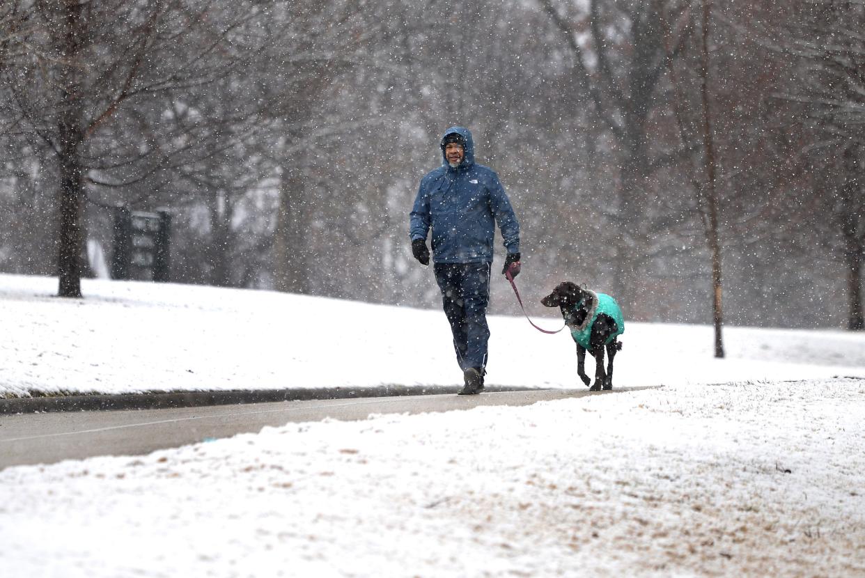
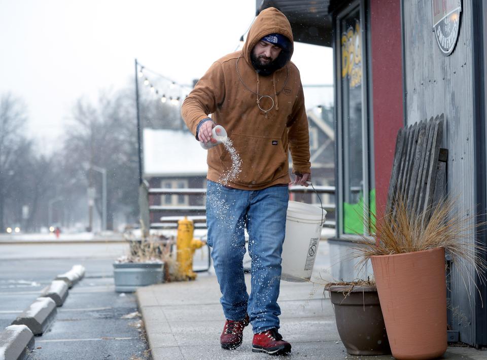
Springfield avoided the worst-case scenario for winter weather Wednesday, as the area received less of a covering of snow than anticipated.
The winter weather advisory for Sangamon County was canceled shortly after 1 p.m., with the National Weather Service lowering projected snow amounts for Springfield and surrounding areas. Road conditions also were better than expected, with the Illinois Department of Transportation reporting that most roads across the state were clear.
As of noon Wednesday, 1.2 inches of snow had fallen at Abraham Lincoln Capital Airport, according to the NWS. The original expectation was for 3-6 inches of snow in Springfield, with heavier amounts coming to the south and east of the area.
The NWS revised forecast called for snow, possibly mixed with rain, before 5 p.m., but most of the snow had melted by mid-afternoon.
The high could reach 36 degrees with winds gusting up to 23 miles per hour. An earlier forecast had predicted the possibility of up to six inches of snow.
In areas southeast of Springfield, a rain/snow mix was forecast until 4 p.m. before changing back to snow later in the afternoon. NWS expected 1-2 inches of accumulation by the end of the day in these areas.
The heaviest snow was expected east of Interstate 55; however, NWS snowfall reports indicate that the largest snowfalls came closer to the Missouri border in southern Illinois. For instance, Fults, Illinois – just south of the Metro East – reported six inches of snow at around 9:30 a.m. Wednesday, as did Murphysboro.
Those pale in comparison to the snowfall in Modoc, Illinois, also in southern Illinois, where 7.2 inches of snow had been reported at 6 a.m. Wednesday.
More:Here's what you need to know about the snow headed to Springfield and central Illinois
Why did we get less snow than anticipated
Barnes said that temperatures were fairly warm in Springfield when the precipitation began early Wednesday morning, starting out as rain before switching over to snow sometime around 2 a.m.
"We had temperatures in the mid-30s, so it was just a little bit too warm," Barnes said. "When it switched over to snow, the snow falling on the warm and wet ground kind of melted over at first before it finally started accumulating."
Had the temperatures been just a little bit colder, like in Bloomington-Normal, the snow may have stuck, with Barnes saying that they received somewhere around three inches of snow as a result of slightly colder temperatures.
"As the precipitation started (there) it was just a couple of degrees colder," Barnes said. "It started as snow, so they were able to accumulate all of their precipitation as snow."
The combination of warmer temperatures and wetter snow led to better road conditions than previously anticipated.
"(We're) not really looking at too big of an impact on the roads," Barnes said. "There could be some scattered slick spots, especially on bridges, overpasses and out in the rural areas, but overall, with the temperatures above freezing, most of the main roads will be kind of wet."
Why has it been so warm, relatively speaking, this winter?
Barnes said that a persistent high-pressure ridge has led to warmer temperatures and very few days of extreme cold.
"All of the cold air has been locked up further to the north and northwest of us," Barnes said.
That will change in the next week, with colder, below-normal temperatures coming to the area, along with another chance of snow.
The future forecast
NWS meteorologist Ben Deubelbeiss said that a chance of snow could persist through Wednesday with a dusting possible in some areas.
"There are better chances north of Springfield for some accumulation," Deubelbeiss said.
The next chance of precipitation will come Saturday night, with another system bringing in the possibility of rain and snow.
"We'll have to keep an eye on that," Barnes said.
This article originally appeared on State Journal-Register: Snow forecast for Springfield and central Illinois lowered

