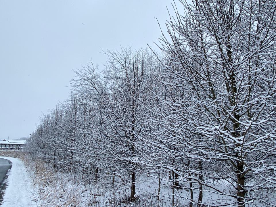
'Wintry mess' in forecast for Henderson County this weekend
While predicted snowfall totals are still up in the air, confidence is rapidly accumulating for a significant winter storm to sweep through the region this weekend.
As of Wednesday, Jan. 12, the National Weather Service in Greer, South Carolina forecasts the bulk of precipitation to fall Saturday night through Sunday afternoon for Henderson County and the surrounding area.
NWS Meteorologist Clay Chaney said the system could bring substantial amounts snow and even ice.
“We could be looking at a wintry mess,” Chaney said Wednesday morning. “...We are becoming more and more confident that (there will be) significant ice and snow accumulation.”
More accurate predictions will come through around 72-84 hours before the system is expected to hit. NWS plans to release its first accumulation map on Thursday.
"A stronger storm system will arrive from the west over the weekend," according to a Hazardous Weather Outlook from NWS on Wednesday. "More significant snow accumulations will be possible late Saturday through Sunday night. Sleet and freezing rain may mix in at times in southern mountain locations. All interests should closely monitor this system since winter weather impacts could be substantial, but remain highly uncertain at present."
Chaney advised the community to begin preparations for a winter storm.
He also urged caution for those planning to commute Monday, Jan. 17, as re-freezing and black ice will be major concerns.
A winter storm watch will likely be issued late Thursday into early Friday, with a winter storm warning following later in the day, according to Chaney.
This article originally appeared on Hendersonville Times-News: Henderson County, NC weather: 'Wintry mess' winter storm coming

