WNC hiking: Best winter hiking spots for the holidays
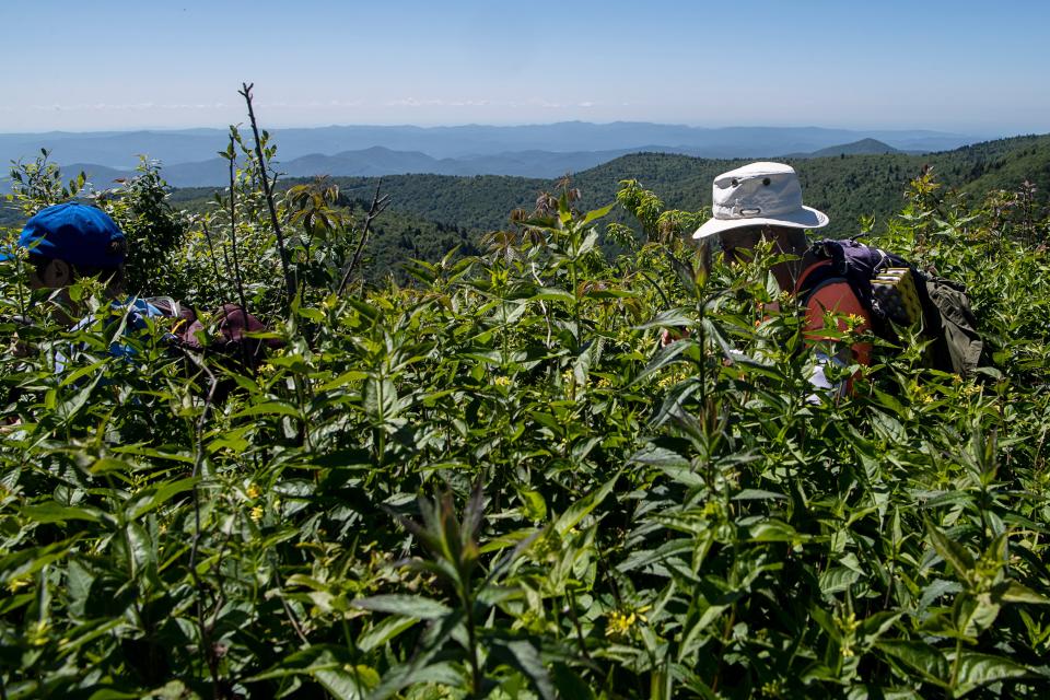
ASHEVILLE - Provided you bundle up and keep an eye on the on-again, off-again Blue Ridge Parkway closures, area hiking guides say it's a great time to get outdoors. Winter brings unparalleled views, shocks of evergreen foliage and less crowds to compete for Western North Carolina's most popular trails.
While we can have wildly vacillating temperatures and precipitation from the 2,200-foot-elevation of Asheville up to the tip of Mount Mitchell, the highest mountain east of the Mississippi at 6,684 feet, having the proper gear, clothing and know-how can make WNC winter hiking spectacular.
In the winter, Bev MacDowell, a 12-year volunteer with Carolina Mountain Club, which just celebrated its 100th year, said she tends to recommend people stick to the lower elevations. During cold weather and threats of snow and ice, the parkway oscillates between open and closed, and some people don't want to be "buffeted around" by wind at 6,000 feet.
Though, she said, if you're up for it, it's "still beautiful."
For the last three years, MacDowell has also worked for Blue Ridge Hiking Company, the hiking guide service started by Jennifer Pharr Davis, the record-holder for the fastest thru-hike of the Appalachian Trail and a National Geographic Adventurer of the Year.
When it comes to lesser-known hikes, in the winter, MacDowell said she recommends Jones Gap State Park where 60-plus miles of trails and 17,000 acres of mountain woodlands join the park with Caesars Head to form Mountain Bridge Wilderness Area. The park is just over the South Carolina border. MacDowell called it "extravagantly beautiful."
Once there, it's hard to beat the Rainbow Falls Hike, a 5-mile round-trip. It's a 1,200 foot elevation change along the escarpment, so even without high elevations, there are still mountain views and less chance of ice.
For people looking to spend time in a "bucolic little town," with maybe a quick spa stop, MacDowell pointed to Hot Springs, a town in Madison County, situated near the Appalachian Trail and the French Broad River. She encouraged people to check out the Rich Mountain Fire Tower, another 5-mile round-trip, this time to a historic lookout fire tower. Start in the small parking area at Tanyard Gap and follow the white blazes of the AT to the north, though you will diverge at the last moments of the hike to reach the tower.
Also in Hot Springs is the 7-mile out-and-back Laurel River Trail, "about the only level hike in this area," she said. It follows the Laurel River on an old railroad bed and ends at its confluence with the French Broad River.
“I love hiking in the winter. I love living in a place where we have four seasons, I love it," MacDowell said. She described the "lacy" trees of winter as "pieces of art in it of itself," and the green of rhododendron, mountain laurel, galax and dog hobble, a vibrancy you may overlook amid spring, summer and fall foliage.
“The views are forever, you see things that you don’t ever see the other three seasons,” MacDowell said. "Your eye picks up things you didn’t see before."
Kathy Kyle, another longtime volunteer and a hike leader with Carolina Mountain Club, similarly recommended the better visibility views and other advantages of a good winter hike. If you've got the right equipment and dress warmly, there's "no excuse not to get out," she said.
She also tends to gravitate toward lower elevations during the year's coldest season, and gave a shoutout to the club's New Years Day hike that she and her husband will be leading this year. They met on that same hike 17 years before.
They will be taking a group out to the Green River Game Lands on Jan. 1. More details can be found on the club's website: carolinamountainclub.org.
Anyone interested can contact them at the email included, she said. She also recommended the Mountains-to-Sea Trail, Jones Gap State Park and the Lamar Alexander Rocky Fork State Park in Tennessee, which opened in 2015.
The North Carolina Arboretum
For those looking for less of a winter adventure and more well-maintained trails in a beautiful, wooded setting, visit the North Carolina Arboretum, just south of Asheville in the Bent Creek Area. Access the Arboretum off Brevard Road/N.C. 191 or at Milepost 393 on the Blue Ridge Parkway.
Bonus: While there is a parking fee, it is half-off the first Tuesday of every month, which is Jan. 2. AAA members also receive $1 off personal vehicles, and parking is always free for N.C. Arboretum members.
The Arboretum has 10 miles of trails, ranging from the easy to strenuous. There’s the ¾-mile Natural Garden Trail, which connects the main two garden areas and also serves as a TRACK Trail, a self-guided trail aimed at children through a partnerships with the parkway and the Blue Ridge Parkway Foundation.
The moderate Carolina Mountain Trail is 1.2 miles one-way and highlights native trees, runs along Bent Creek and Running Cedar Road.
The strenuous Owl Ridge Trail is the upper portion of a recreational loop open to hikers and pets on leashes and mountain bikers. The natural-surface section of the loop is about 1 mile, joining Rocky Cove Road with Hard Times Road, and is a connection to the lower trail which crosses the creek to rejoin Bent Creek Road, making the whole loop about 3.5 miles.
For more information, including fees and hours, visit www.ncarboretum.org.
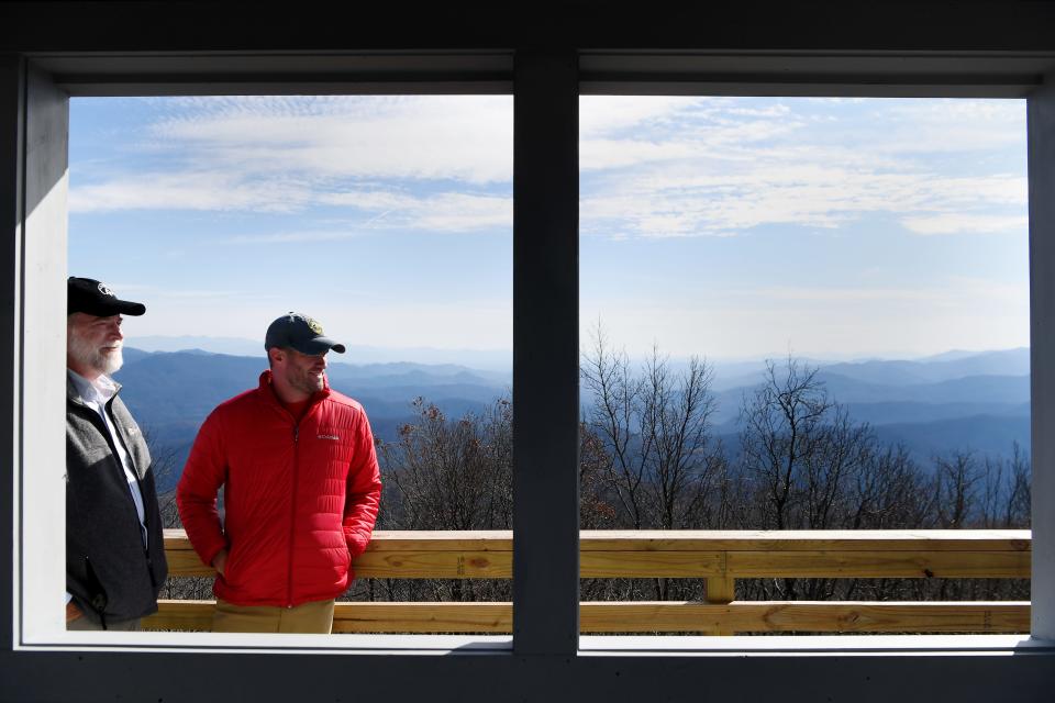
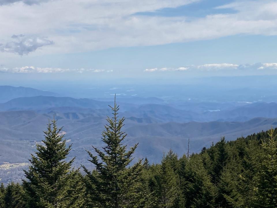
Mount Mitchell State Park
If the highest peak in the East sounds cold, it is. Ranger Jake Gardner said the state park about an hour’s drive northeast of Asheville, at Milepost 355 on the Blue Ridge Parkway, can be 20 degrees colder than Asheville on any given day, with winds blowing 30-40 mph.
But as long as the parkway is open ― the only vehicle entrance to the park is at MP 355 off the parkway at N.C. 128 ― the hiking is grand, Gardner said in a 2020 interview with the Citizen Times.
The trail to Mount Craig, which starts at the summit picnic area, goes out about 1.5 moderate miles to the park’s second highest summit at 6,648 feet, for a 3-mile round-trip.
Check on parkway closures: nps.gov/blri/planyourvisit/roadclosures.htm.
The nearly 11-mile round-trip Mount Mitchell Trail, accessible even when the parkway is closed, starts at the Black Mountain Trail in Burnsville. It is still under renovation, but is open to the public. It is strenuous, with an elevation gain of 3,500 feet. The upper section, where there is noticeable improvement with the installation of box steps, can be accessed from the summit.
For more information and weather conditions, visit the N.C. High Peaks Trail Association.
DuPont State Recreational Forest
The 10,000-acre state forest about an hour southwest of Asheville in Henderson and Transylvania counties is free and open year-round. There are more than 80 miles of roads and hiking trails, some open to just hikers, some to hikers, horses and mountain bikers.
The state forest is most well-known for its luscious waterfalls, including the easy 0.75-mile-round-trip Hooker Falls, and the more strenuous climbs to Triple Falls and High Falls, accessible off Staton Road at the Hooker Falls parking area, or from the Visitor Center.
“If you have people come in who haven’t been to this area before, you can knock their socks off by taking them to DuPont,” MacDowell said.
Want to try something different? Try the Cedar Rock Trail to get on top of large slabs of exposed granite and sweeping winter views of the surrounding forest.
Start at the Corn Mill Shoals Access Area on Cascade Lake Road in Cedar Mountain for a nearly 3-mile loop trail. This trail is shared with mountain bikes. Enter the woods at the sign for Corn Mill Shoals Trail, which bears to the right. Very shortly, turn left onto the Big Rock Trail. Climb through a trail heavily lined with rhododendron and arrive at an opening in a half-mile. Continue northeast up the big rock slabs, then enter a pitch pine forest. After about a mile, you’ll emerge on another granite overlook.
Continue to the trailhead for the Cedar Rock Trail. To make a loop, turn right and start descending until the intersection with the Little River Trail. Turn right at the Corn Mill Shoals Trail and then left at the fork with the Big Rock Trail to return to the parking area.
Call the park office ahead for weather and road and trail conditions before heading out at 828-877-6527 or visit www.dupontforest.com.
Chimney Rock State Park
The 5,700-acre park in Rutherford County is 25 miles southeast of Asheville on U.S. 64/74A. For the Chimney Rock attraction (which includes the elevator, the Chimney Rock, Hickory Nut Falls, Exclamation Point and other popular hiking trails), turn right at the entrance sign in the village.
For the Rumbling Bald Access, which contains hiking trails and rock climbing, continue one mile on U.S. 74A. Turn left on Boys Camp Road. Travel 2 miles and turn left at the climbing area entrance. Access here is free.
The most popular trail is the Hickory Nut Falls path to the 404-foot waterfall, made famous by the 1992 film, “Last of the Mohicans.”
More: What movies have been shot in Asheville area? Here's a list of 26 films since 1956
For vantage points that hikers don't usually see just going up the chimney, Skyline Trail is a moderate to strenuous 2.2 miles to the top of Hickory Nut Falls, for 4.4 miles round-trip, starting at the Outcropping Trail, or steps, in the upper parking lot, which is open to the public the rest of the week.
The trail fluctuates with up- and down-hills, switchbacks and stream crossings, but with natural places to stop along the way and catch your breath with overlooks and picnic tables. The highest point is Peregrine’s Point at 2,600 feet.
The elevator is open in case you want to skip the 500 steps of the Outcropping Trail that leads to the overlook at the iconic Chimney Rock.
There is an entrance fee. For more details visit chimneyrockpark.com.
More: Asheville Zen Tubing owner Heath White dies; remembered as 'steward' of French Broad River
More: Asheville City Council considers 2024 GO Bond; what's next for referendum process?
Sarah Honosky is the city government reporter for the Asheville Citizen Times, part of the USA TODAY Network. News Tips? Email shonosky@citizentimes.com or message on Twitter at @slhonosky. Please support local, daily journalism with a subscription to the Citizen Times.
This article originally appeared on Asheville Citizen Times: Where are the best winter hikes in Asheville, WNC?

