Wondering where that bird in your backyard came from? A new mapping tool details its amazing journey.
Your Milwaukee backyard is connected to the Amazon.
Surprised? Well, one bird, the Connecticut warbler, passes through the city each year on its sojourn to South America.
This information is now readily available on a new interactive map from the National Audubon Society that lets bird watchers track the intrepid journeys that globe-trotting birds make each year. The Bird Migration Explorer connects migration and conservation, letting people not only see where the birds they love travel but also the challenges they face along the way.
It's not just for bird-watchers; it's an easy-to-use map for anyone with even modest interest in the birds they see.
The Explorer digital platform is “the most complete picture about where these birds go throughout the year and the places that they rely on,” said Melanie Smith, the program director for the new Audubon tool.
And it reveals some pretty impressive stats for Wisconsin.
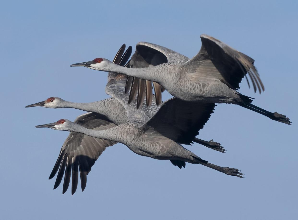
So far during this year’s fall migration, more than 350 million birds have migrated through Wisconsin — more than the entire U.S. human population.
Right now is peak fall migration time in Wisconsin. On the night of Sept. 19 alone, nearly 2.4 million birds migrated across the state.
On the same night, nearly 650,000 birds flew over Milwaukee County — more than all the fans that attended Packers games during last year’s regular season.
The Great Lakes region sits at the intersection of two migratory super-highways, the Mississippi and Atlantic flyways, where more than 380 bird species fly through the region each fall. Coastal and inland wetlands in the region are a great pitstop, providing a place to rest and refuel as they make their long journey south.
Lake Michigan and Lake Superior are "magnets" for birds, said Tom Prestby, the Wisconsin conservation manager for Audubon Great Lakes.
Fall migration takes a lot longer than in the spring because the adults are traveling with their newly hatched young. Some shorebirds that nest up in the Arctic can start their journey toward Wisconsin and beyond as early as July, and the season closes down in December with waterfowl.
Peak season in Wisconsin is between mid-August and mid-September.
“It’s really incredible when these tiny birds — some of them weigh less than an ounce — show up in your backyard and they’ve come from thousands of miles away and crossed many different countries to get there,” Smith said.
In addition, they face a lot of challenges along the way.
‘Birds connect us to other places’
The Explorer also maps out 19 conservation challenges that can throw migratory birds off course, like light pollution, coastal modification, wind turbines and agriculture. People can see where their favorite bird comes across climate change challenges, such as sea level rise, frequent flooding and drought. Human development and climate change are some of the biggest stressors, Prestby said.
Each year, the timing of migration coincides with when food is available on the way south. But Prestby said that climate change is causing a timing "mismatch" where food is available at different times. This is especially problematic for tropical birds, like Golden-winged and Cape May warblers that breed here in the state.
One great thing about the tool, Prestby said, is that it “allows us all to visualize just how much birds connect us to other places and how conservation requires us to act in our own backyards.”
Smith hopes that the Explorer will help people gain an appreciation for what it took for birds to show up outside their window.
“Once you start to see those patterns and those connections with other places, I think it helps bring a sense of stewardship for faraway places,” Smith said.
Caitlin Looby is a Report for America corps member who writes about the environment and the Great Lakes. Reach her at clooby@gannett.com or follow her on Twitter @caitlooby.
Please consider supporting journalism that informs our democracy with a tax-deductible gift to this reporting effort at jsonline.com/RFA.
Our subscribers make this reporting possible. Please consider supporting local journalism by subscribing to the Journal Sentinel at jsonline.com/deal.
DOWNLOAD THE APP: Get the latest news, sports and more
This article originally appeared on Milwaukee Journal Sentinel: Mapping tool shows how bird flyways link Wisconsin, foreign countries

