Appleton weather updates: Heavier snowfall began about 3 p.m; 4-8 inches total in forecast
APPLETON – As Wisconsin is seeing its first widespread winter storm of the season Tuesday, the Fox Valley can expect around a half foot of snow and gusty winds.
The National Weather Service in Green Bay issued its first winter storm warning of the year for the Fox Valley, remaining in effect until 6 a.m. Wednesday.
Scott Berschback, a meteorologist with the National Weather Service in Green Bay, said snowfall totals in the Fox Valley area will likely reach around 4 to 8 inches — a slightly lower estimate than the 8 to 12 inches the National Weather Service previously predicted, due to the system moving further south and east.
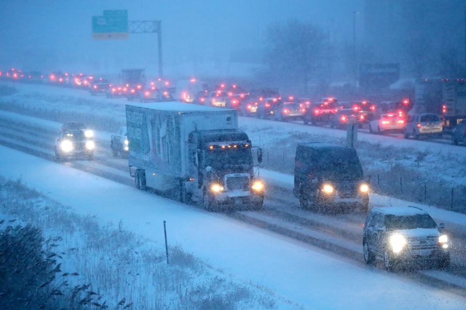
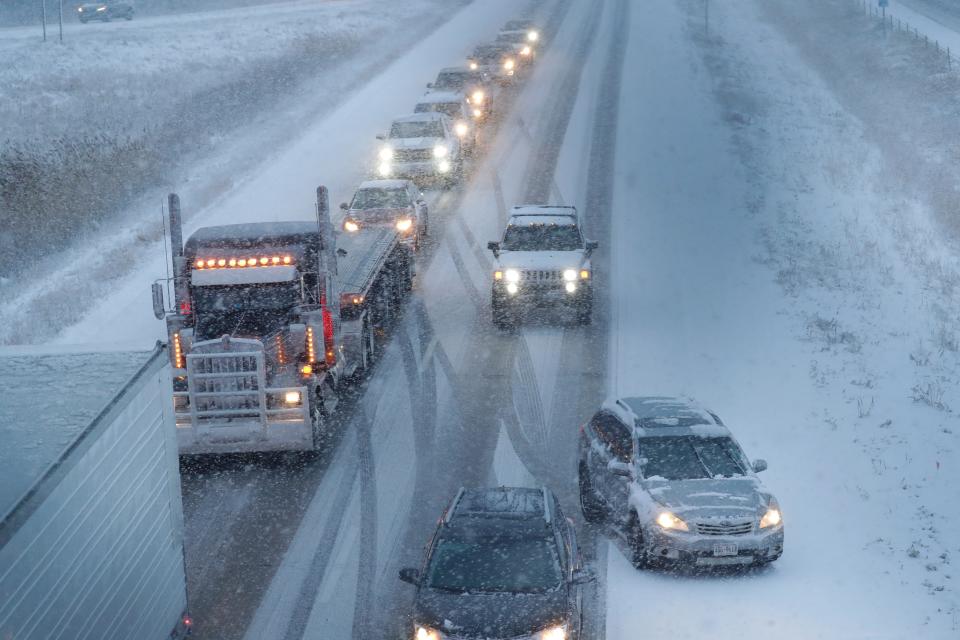
Gusty winds and heavier snow later in the afternoon are expected to make travel difficult.
Here's what we know so far:
5 p.m. update
By mid-afternoon Tuesday, light flurries turned to a heavier snowfall, with large flakes.
Tim Kieckbusch, a meteorologist with the National Weather Service Green Bay, said the heavy snow is expected to continue for "a couple hours," then will lessen with lingering flurries until about midnight.
Kieckbusch said the National Weather Service had not received many recent reports of snowfall totals since earlier in the afternoon, but anticipates updates later in the evening.
He estimated the Fox Valley area accumulated around 1 to 3 inches of snow through 3 p.m., before the heavier snow began.
Authorites warn of treacherous conditions on the roads as the heavy snow and gusting wind is decreasing visibility.
Two crashes in Little Chute caused road closures: A crash on Interstate 41 around 3:45 p.m. has closed the righthand lanes of the interstate at County CC, while a crash on the ramp between State 441 northbound and Interstate 41 southbound that occurred just before 4:10 p.m. has closed all northbound lanes on State 441 at College Avenue, according to the Wisconsin Department of Transportation.
According to We Energies' outage map, over 1,200 customers in Grand Chute lost power around 4:20 p.m. We Energies' site says it estimates power should be restored there by around 7:30 p.m.
Around 4:45 p.m., the Outagamie County Sheriff's Office issued a county-wide tow ban, meaning no vehicles can be towed if they are not an immediate hazard, unless towing is requested by emergency personnel.
Morning update:
How much snow has fallen so far?
As of 9 a.m., snowfall accumulation in the Fox Valley was "anywhere between a half an inch and 2 inches," Berschback said.
According to the National Weather Service forecast, light snowfall throughout the day Tuesday will turn heavier in the afternoon and early evening.
How much snow is expected?
The Fox Cities can anticipate a total of around 4 to 8 inches of snowfall Tuesday.
Higher snowfall totals potentially up to 10 inches are expected closer to Lake Michigan and south of Oshkosh, toward Milwaukee and Madison, Berschback said.
Are any schools open?
Tuesday is a snow day for all the major school districts in the Fox Valley, including:
Appleton Area School District
Kimberly Area School District
Kaukauna School District
Little Chute Area School District
Menasha Joint School District
Neenah Joint School District
However, the Neenah Joint School District is having a virtual learning day.
Fox Valley Technical College is also closed for the weather.
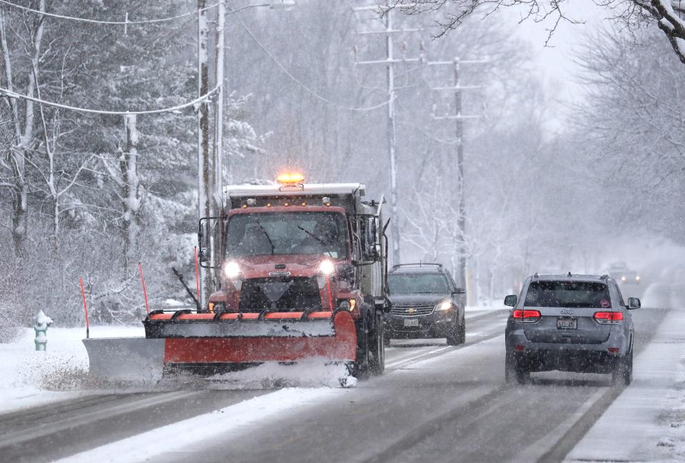
What road conditions should you look out for?
While the snow Tuesday morning has been fairly light, the National Weather Service is warning heavier snow will come in the afternoon.
"Impact-wise, we are expecting a pretty poor evening commute in the Fox Valley and lakeshore," Berschback said.
Wind gusts reaching around 40 miles per hour will blow snow around, reducing visibility and making travel hazardous, he said.
Berschback also advised anyone shoveling Tuesday to take breaks, as the snow will be a wet consistency and on the heavier side.
What about temperatures?
Temperatures during the winter storm will stay mild, with a high in the mid-30s.
The high will continue to be around the freezing mark the rest of the week, until another system moves in, bringing a temperature drop Friday into Saturday, Berschback said.
"The brunt of the cold air does not arrive until this weekend, when we're just going to tumble into the single digits by next Monday," Berschback said.
This story will be updated.
Rebecca Loroff contributed to this report.
Kelli Arseneau can be reached at 920-213-3721 or karseneau@gannett.com. Follow her on X at @ArseneauKelli.
This article originally appeared on Appleton Post-Crescent: Appleton weather updates: Fox Valley can expect 4-8 inches of snow

