'Below normal temperatures' coming as record rainfalls transition to frigid wind-chill
Ohio will transition from relative warmth and record rainfall to frigid snows with wind chills well below zero, all in a matter of a few days.
"We're definitely going to be on some form of a rollercoaster going forward," Raelene Campbell, a meteorologist with the Cleveland office of the National Weather Service, said Wednesday morning.
The week's first storm on Tuesday dumped 1.14 inches of rain at Mansfield Lahm Regional Airport, a new record for Jan. 9 in Mansfield. The previous record of 0.69 inches was set in 2022.
Mid-week winds topping 50 mph at times were forecast to leave the region Wednesday night as the pressure system left North Central Ohio.
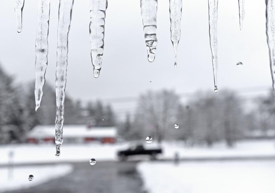
Temperatures were expected to drop below freezing by Thursday morning, allowing as much as a half inch of snow to fall across the northern half of the Buckeye State.
'A very similar system as to what we just got'
Any snow that falls might not last long Thursday as the daytime high climbs to 35. The sky is expected to be partly sunny.
"Thursday we have a chance of some lingering showers," Campbell said. "Rain, snow showers with nothing really notable in terms of accumulation — more or less on-and-off flurries."
Temperatures will likely continue to climb through Friday afternoon as a new rainstorm reaches the area.
"We're going to get hit with a very similar system as to what we just got," Campbell said. "Widespread rain showers transitioning to kind of a flurry."
The transitioning temperature likely will make Friday another windy afternoon.
"We're going to have gusty winds," Campbell said. "Literally, it's going to almost repeat itself."
'We're going to really start trending to below normal temperatures'
Things will turn for the colder Friday night.
"It will transition to snow late Friday night into Saturday morning when we start getting more of that cold air," Campbell said.
Saturday's high is forecast at 30 in the Mansfield area. By Sunday afternoon, the high will only be 17.
"Saturday is kind of that flex point of when we're going to really start trending to below normal temperatures," Campbell said.
Occasional snow flurries are expected throughout the weekend.
Although it's still too many days away to predict with certainty, the weather service's model indicate the overnight lows early next week will be in the single digits.
"We're also going to look at wind-chill values in the negative teens," Campbell said. "That's going to be the big story come the beginning of next week."
ztuggle@gannett.com
419-564-3508
This article originally appeared on Mansfield News Journal: Record rainfalls will transition to below-zero wind-chill in Ohio

