A blizzard warning begins at 5 p.m. in Johnson County, with high potential for treacherous conditions
What may feel like a bit of deja vu, another winter storm has hit Johnson County, with conditions worsening throughout Friday.
Iowa City is currently under a winter storm warning, while a blizzard warning will go into effect at 5 p.m. Friday, extending through noon Saturday, Jan. 13.
Frigid temperatures are expected to follow, lasting through early next week, accompanied by extreme winds.
More: More snow hits Iowa City, followed artic blast and strong winds
How much snow has fallen?
Iowa City reported 3 inches overnight Thursday, while North Liberty reported 5 inches. More snow is on the way. The National Weather Service predicts Johnson County will see an additional three to eight inches of snow in the next 36 hours.
A windchill warning will begin Saturday evening and extend through Tuesday morning, with windchill temperatures of 30 to 45 below zero expected. Iowa City will see temperatures well below zero until Wednesday.
Friday's blizzard warning will produce "low visibility of less than 1/4 mile due to falling or blowing snow, and winds of at least 35 mph lasting for three hours or more," according to the National Weather Service.
More: Blizzard warning: Travel not advised as snow covers roads, winds keep it blowing around
A second round of snow
This front arrived just days after a winter storm covered Johnson County over a 36-hour period, resulting in an impressive 15 inches of snow. The year's first snowfall resulted in numerous travel challenges, leading to multiple accidents on Interstate 80.
As a precaution, the Iowa DOT recommended avoiding travel in the area for almost 24 hours.
More: Road conditions in Johnson County area slowly improving after a number of snow-related crashes
The snowfall started after 9 p.m. on Thursday, and this latest storm introduces a complication with the potential for freezing rain. Officials warn that a mix of snow and freezing rain on Friday may result in slippery road conditions for commuters.
When you look at the https://t.co/2XHJbG5B9b map, you'll see roads "painted" different colors to indicate winter road conditions. Our crews in the field update the the map as conditions change based on what they are seeing. For more info, go to https://t.co/zTlCzXEGN5 #IAWX pic.twitter.com/hyVLkHCKdI
— Iowa DOT (@iowadot) January 12, 2024
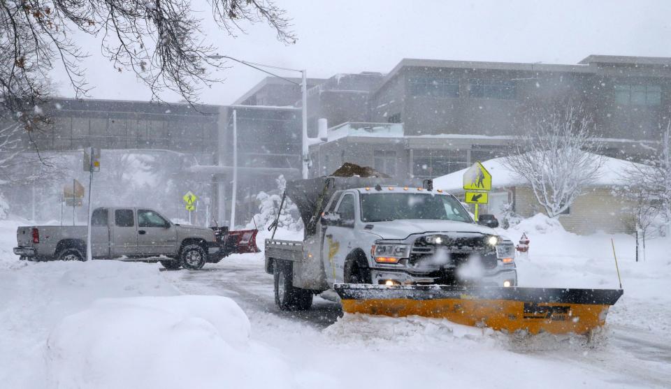
Road conditions are treacherous
The Iowa DOT advised against travel Friday and Saturday because of extremely poor visibility, thanks to strong winds and blowing snow. Interstate 80 from the Des Moines Metro to Iowa City was completely covered with snow (as of noon Friday). The DOT even said the treacherous conditions could force emergency vehicles and plows to stay off the roads. U.S. Highway 6 and I-380 were also completely covered with snow, meaning road markings are likely not visible due to the conditions. The blizzard-like conditions make it difficult to differentiate between the roadways and their surroundings, making travel difficult or hazardous.
(2/2) The coldest air of the winter arrives by Saturday, and not only does it arrive...it stays! Make sure you and your family are ready for the cold, by having your cold weather gear ready! pic.twitter.com/Iq0nIHzS4U
— NWS Quad Cities (@NWSQuadCities) January 12, 2024
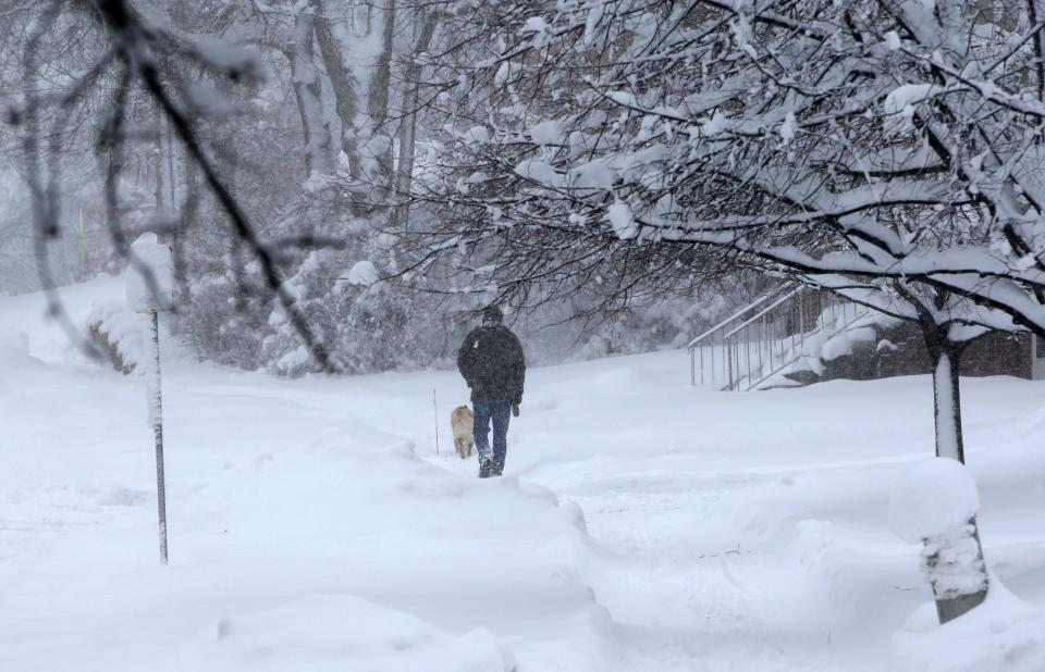
The National Weather Service and Iowa DOT encourage and remind residents to dress in layers if they must travel Friday or through the weekend. Exposed skin in these conditions runs the risk of frostbite. Additionally, check road conditions before traveling and consider rearranging plans.
Jessica Rish is an entertainment, dining and business reporter for the Iowa City Press-Citizen. She can be reached atJRish@presscitizen.com or on X, formerly known as Twitter, @rishjessica_
This article originally appeared on Iowa City Press-Citizen: How much snow did the latest winter storm dump on Iowa City?

