Flood forecast: River flooding could reach peak Wednesday afternoon
The National Weather Service has issued major flood warnings throughout North Jersey during Tuesday evening. While the rain is expected to end early Wednesday, the flooding may just be getting started in some areas.
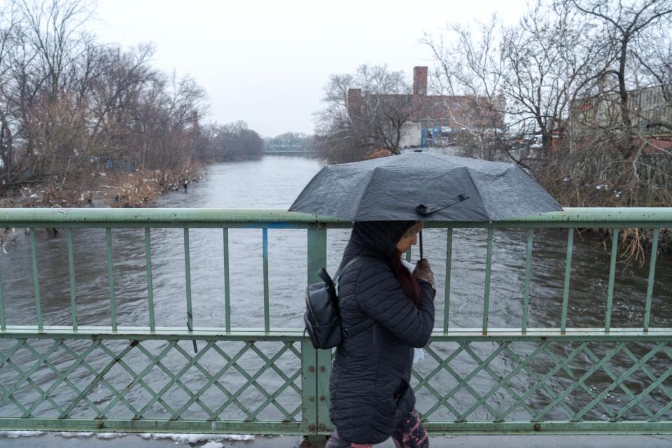
Here is how the flooding is affecting areas so far.
Floods from rivers
Passaic River: Major flooding is expected at the Passaic River in Little Falls from Wednesday afternoon until further notice. The river is expected to rise above flood stage Wednesday afternoon and continue rising to a crest of 9.8 feet by early Friday morning.
At seven feet — which is the flood stage — minor flooding could begin in Lincoln Park, Wayne and Little Falls. If the flooding increases, then widespread flooding can occur and evacuations may be authorized.
Ramapo River: The flooding of the Ramapo River near Pompton Lake could affect Bergen, Passaic and Morris counties. The river is expected to rise above flood stage to a crest of 12.9 feet early Wednesday afternoon. It will then fall below flood stage late Thursday morning, but flooding could continue. Even residences in Pompton Lakes can experience flooding once the lake is well above the flood stage.
Pascack River: In Park Ridge, the river will have experienced minor flood levels as of 10 p.m. Tuesday.
Saturation Point: NJ flooding is getting worse. NorthJersey.com series traces impact, inspects solutions
Saddle River: In Ridgewood, the river will have neared minor flood levels on Tuesday evening, which could have worsened over the night.
Ho-Ho-Kus Brook: Areas in Ho-Ho-Kus may experience flooding due to the brook already experiencing minor flood levels.
Other areas like Hackensack and New Milford were not near flood levels as of Tuesday evening, but that is also subject to change.
Highway closures
Flooding of highways could make for a treacherous Wednesday morning commute.
On Tuesday evening, Route 3 was already experiencing flooding near the Harmon Cove in Secaucus.
More rain in forecast
The forecast is not getting any better for North Jersey and the taxed waterways. While the rest of Wednesday and Thursday is expected to be dry, rain is expected Friday and possibly into Saturday.
This article originally appeared on NorthJersey.com: Flood forecast: Which North Jersey rivers could flood Wednesday

