Heavy snow and covered roadways: Here's Friday's weather conditions in Ames
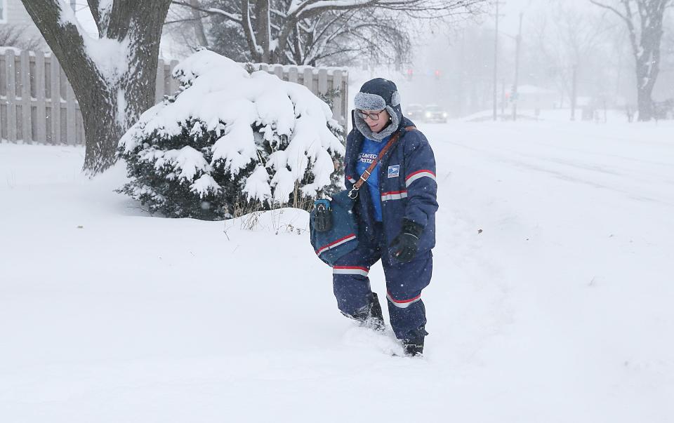
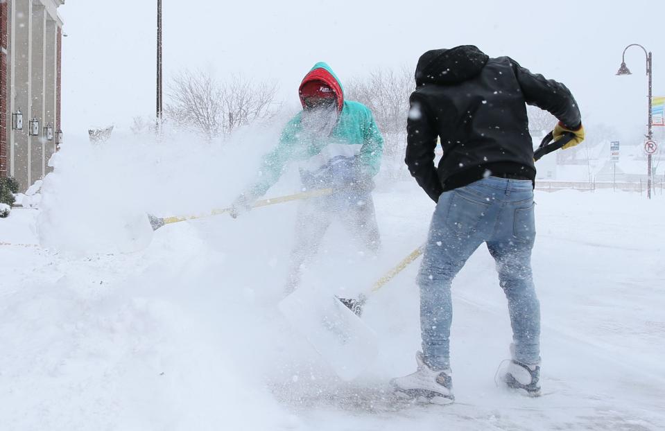
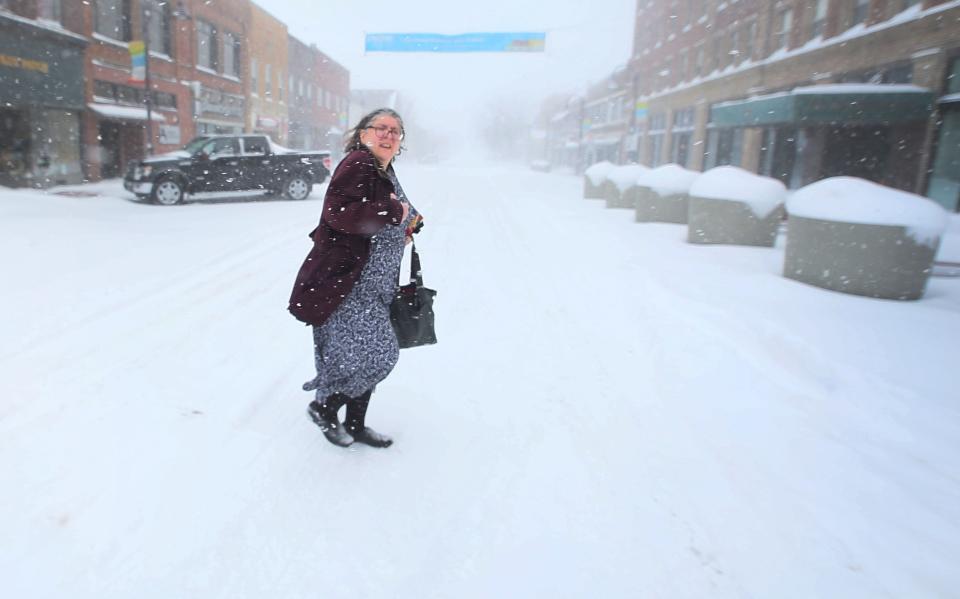
Thursday night's snowstorm −the second of the week −has produced blizzard-like conditions for much of the Ames Tribune coverage area, rocketing Story County's five-day totals well beyond 15 inches.
The late week, multi-pronged storm system has central Iowa in the midst of a blizzard warning effective until Saturday morning. A wind chill warning begins Saturday as well and lasts through Tuesday.
More: Iowa State University closes campus ahead of another winter storm
Significantly colder temperatures arrive today, turning coldest by Saturday night through at least early Tuesday with wind chills falling to 25 to 45 below zero. Make sure to limit exposure to the cold and dress warmly! #iawx pic.twitter.com/nzuznTfsch
— NWS Des Moines (@NWSDesMoines) January 12, 2024
How much snow has Ames received?
The city of Ames reported almost seven inches of snow by 11 a.m. Friday, much of which arrived overnight, according to the National Weather Service.
The city is expected to experience blowing snow mainly after 3 p.m. on Friday while 3 to 5 inches of additional snow is possible throughout the day.
Story County has received more than 16 inches of snow since Monday, Jan. 8.
1145am: These are 𝗺𝗶𝗻𝗶𝗺𝘂𝗺 visibilities over the last 3 hours across central Iowa.
Anything 0.25 miles or less would be blizzard-like, esp as winds continue to trend up.
𝗡𝗼𝘁𝗲: Often times, rural and open areas are worse than these observations.#iawx #blizzard pic.twitter.com/d9yT0U6a7t— NWS Des Moines (@NWSDesMoines) January 12, 2024
Roads are covered in snow
According to the Iowa Department of Transportation, Interstate 35 and U.S. Highways 30 and 69 were completely covered with snow as of noon Friday. The DOT advises no travel on these highways currently.
Wind from the northwest is anticipated throughout the day at 23 to 29 mph, with gusts as high as 43 mph, causing blowing snow and hazardous driving conditions.
(1-12 10:45 a.m.) Conditions are very poor in most of Eastern Iowa this morning and getting worse. Our crews are out, but the snow is blowing back on the roads about as quickly as we get a plow through. Visibility is very low. If you must drive SLOW DOWN!! #IAWX pic.twitter.com/pgh2Qpomlj
— Iowa DOT (@iowadot) January 12, 2024
CyRide still operating despite snowy weather
CyRide, the city bus system for Ames, is operating at its break schedule until Jan. 14 and has no plans to suspend routes throughout the weekend. The #9 Plum route will be on-demand only for the bus stops near Veterinary Medicine, and as of noon Friday, it was the only route affected.
The bus system said it is extremely rare to suspend service, even during a winter storm. To stay up to date, users can check CyRide's website or its Facebook page.
A VERY active weather pattern, and EVERY state in the US has an active NWS Watch, Warning, or Advisory. Check https://t.co/VyWINDk3xP or follow your local NWS office at https://t.co/GWrG0hTRHN for details in your area. pic.twitter.com/xeFm4KAZ2O
— National Weather Service (@NWS) January 12, 2024
An arctic blast is on its way
Area temperatures are expected to drop drastically in the next 24 hours. Friday evening's windchill could reach a low of minus degrees, while Saturday's high is four degrees. Saturday night is expected to produce a low of -14 with Sunday's high clocking in at a frigid minus five. MLK Jr. Day on Jan. 15 won't be much better, with highs expected at minus four degrees.
Saturday's wind chill warning predicts overnight wind chills of minus 38 degrees throughout the weekend.
Celia Brocker is a government, crime, political and education reporter for the Ames Tribune. She can be reached at CBrocker@gannett.com.
This article originally appeared on Ames Tribune: How much snow has fallen in Ames after the week's second storm?

