La Niña could bring stronger, more frequent hurricanes. What to know
Forecasters got together in the beginning of February and decided that current weather conditions are pointing toward the development of La Niña within the next six months.
The National Weather Service announced a La Niña Watch on Feb. 8, forecasting that the El Niño currently in effect is weakening and that there’s about a 79% chance for conditions to end between April and June, with a 55% chance of it transitioning into La Niña later, between June and August.
El Niño, when sea surface temperatures in the central and eastern tropical Pacific Ocean warm, is still in effect now, but forecasters have noticed that ocean temperatures in the upper 300 meters are returning to near-average for the first time in almost a year.
Warm 'hurricane alley': Warm 'hurricane alley' could fuel an active hurricane season across U.S.
The development of La Niña could spell trouble for the 2024 Atlantic hurricane season, which starts on June 1 and ends on Nov. 30.
News of La Niña Watch and unseasonably warm waters in a segment of the Atlantic Ocean referred to as “Hurricane Alley” could be bad news for this year’s hurricane season, but it’s too early to tell just yet.
In the meantime, here’s what to know about La Niña.
What is El Niño?
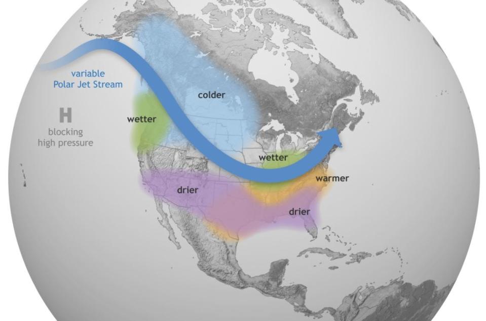
El Niño weather effects push warm water eastward toward the west coast and impact precipitation and temperature. Those warmer waters lead to dryer and warmer weather in the North and wetter weather with increased flooding in the South.
What is La Niña?
A La Niña is essentially the opposite of an El Niño. According to Weather.gov, it refers to the periodic cooling of ocean surface temperatures in the central and east-central equatorial Pacific.
La Niña weather events are infrequent, usually occurring every three to five years.
How does a La Niña affect weather?
The effects of La Niña events are felt worldwide, as it pushes warmer water toward Asia and brings cold water to the surface. In the South, this can lead to droughts and heavy rains, with flooding in the Pacific Northwest and Canada, according to the National Oceanic and Atmospheric Administration.
When it comes to temperatures, winters are typically warmer than normal in the South, while they’re cooler than usual in the North. More importantly, in the southern U.S., La Niña effects can also lead to more severe hurricane seasons.
How does La Niña impact hurricane season?
Much like described above, the impact La Niña and El Niño have on hurricanes are opposite.
Hurricanes require uniform wind shear to form, according to NOAA. During El Niño, there is stronger wind shear at the upper levels of the atmosphere across the Atlantic, which essentially cuts the heads off developing storms before they can really form.
In other words, El Niño suppresses the development of hurricanes in the Atlantic. The recent El Niño was strong and contributed to last year’s hurricane season being relatively tame.
During La Niña, those westerly winds weaken, which results in an expanded area of low vertical wind shear. This not only means more hurricanes but stronger ones, too, according to NOAA.
This article originally appeared on Pensacola News Journal: La Niña watch issued. What does that mean for hurricane season?

