Lake effect snow to continue across Northern Michigan
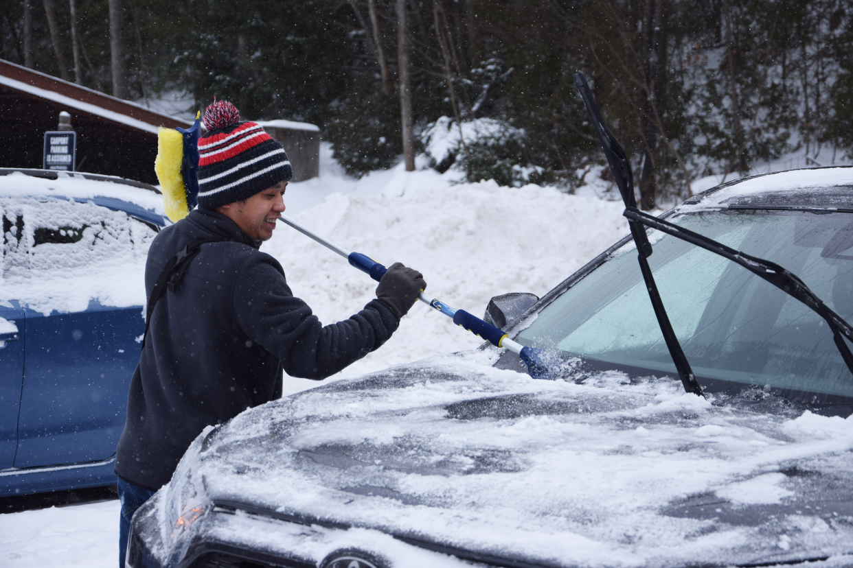
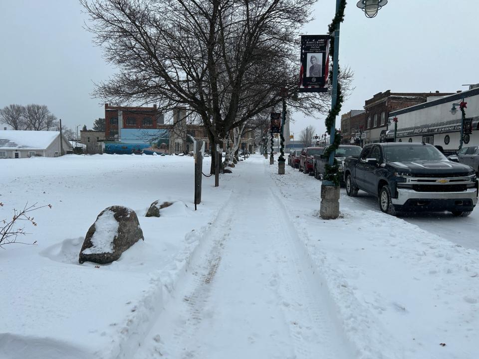
NORTHERN MICHIGAN — A winter storm rolled its way across the Great Lakes State throughout the weekend, with lake effect snow, high winds and icy road conditions hampering travel across the region.
According to Matt Gillen, a meteorologist at the National Weather Service office in Gaylord, snowfall varied greatly throughout the area during the weekend storm.
In Sault Ste. Marie, only 2-3 inches of new snow fell, while other parts of Chippewa County and in the Eastern Upper Peninsula saw upwards of 6-8 inches of snow.
More: Severe winter storm makes its way across Michigan
“So really the Sault is kind of just left out of this one so far,” Gillen said.
Across the northwest Lower Peninsula, Gillen said most cities saw 8-16 inches of snow on average.
“It can certainly vary from town to town, but in general over the last two days that’s what we’ve seen pretty much across the entire area,” he said.

At the National Weather Service office in Gaylord, there was 16.6 inches of snow recorded as of 1 p.m. on Sunday. Gillen said Charlevoix has had upwards of 10 inches, parts of Emmet County had 10-12 inches, and Cheboygan was in the 8-12 inch range.
High winds were a major factor, especially on Friday night as the storm moved into the area.
CCE Central Dispatch, covering Charlevoix, Cheboygan and Emmet counties, warned of at least two instances of downed or damaged power lines.
In downtown Petoskey, one of the city’s famed gaslight district streetlights was toppled by the high winds.
The Little Traverse Bay Ferry Co. noted in a Friday night Facebook post that the 767-foot Arthur M. Anderson freighter had taken shelter in Little Traverse Bay during the storm. By Saturday morning, the freighter was back out in the open water making its way north towards Lake Superior.
Gillen said the strongest gust recorded in the region was at a lighthouse in Oscoda on Lake Huron, which recorded gusts of 49 mph.
“Mackinac Island had a wind gust of 48 mph,” he said. “Largely between 40-45 mph with a few higher gusts was really what occurred area wide.”
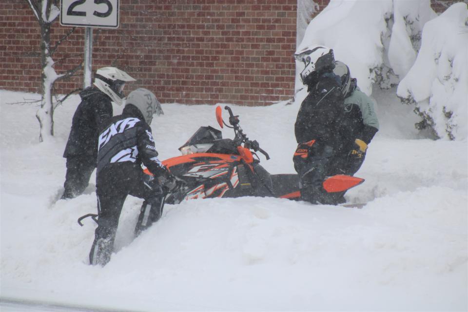
Travel during the storm was difficult, and authorities warned residents to stay at home if possible.
Throughout the weekend, the Mackinac Bridge issued several travel advisories as needed to drivers, including high winds, wind escorts and icy road conditions.
In one instance, the Michigan Department of Transportation reported a brief closure of I-75 between exits 270 and 279 in Otsego County on Sunday afternoon with white out conditions affecting travel.
Gillen said he heard of several slide-off accidents on I-75 and U.S. 131, but the biggest impact from the storm came from power outages in the northeast Lower Peninsula region from West Branch to Alpena.
“Based on some of the energy company outage maps that we were looking at, it looked like there were some pretty significant power outages out that way,” he said.
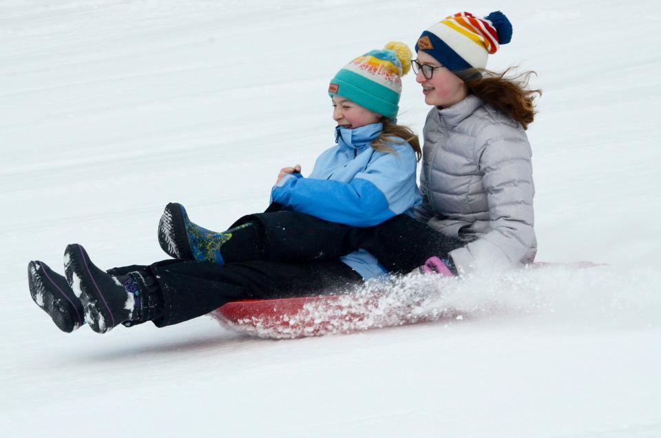
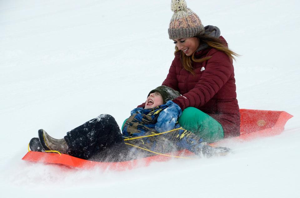
The snowfall was a boon to Michigan’s ski resorts during the holiday weekend, as many had struggled with a slow start to the winter season.
For example, Marquette Mountain posted on Facebook that they had received at least 10 inches of snow on Saturday, although high winds did cause some delays. The Highlands at Harbor Springs also reported 12 inches of fresh snowfall in their Saturday mountain update, allowing them to open more trails and make even more snow.
The snow is not expected to let up until Wednesday.
“Lake effect snow showers are going to continue, especially across Charlevoix, Petoskey, Cheboygan, through at least Wednesday,” Gillen said. “Each day and each night, a couple of inches of new snow accumulation looks pretty likely through at least the middle of the week.”
Colder temperatures will also move into the region.
“Our highs are going to struggle to get out of the low to mid teens, and wind chills anywhere from 5 above to 10 or 15 below at times,” Gillen said.
— Contact Jillian Fellows at jfellows@petoskeynews.com.
This article originally appeared on The Petoskey News-Review: Lake effect snow to continue across Northern Michigan

