How much rain did the storm drop on the High Desert? What's next?
After calculating rain totals from Sunday and Monday, Middle Fork Lytle Creek, with nearly 12 inches of rain, was the clear winner for most rain received.
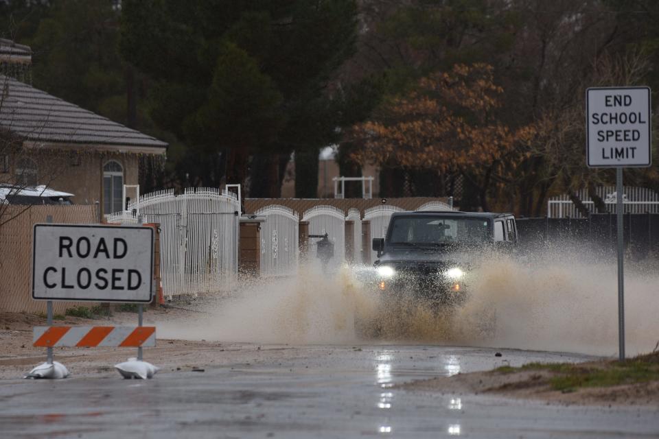
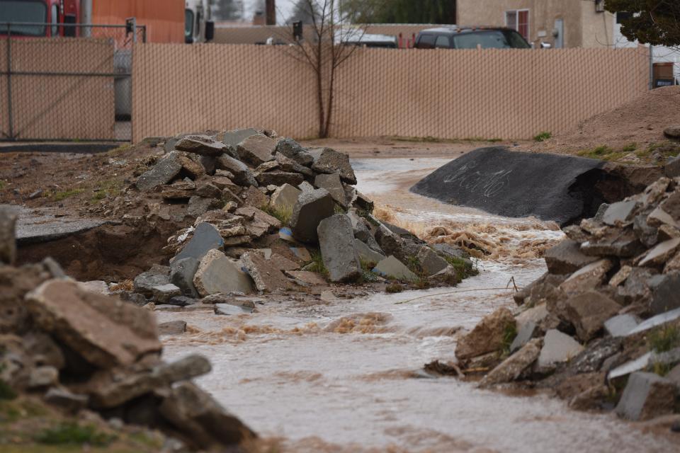
An atmospheric river-fueled storm soaked Southern California and resulted in flooded roads, mudslides, power outages, and several swift water rescues.
With 11.8 to 10.2 inches of rain, Lytle Creek took the title in the National Weather Service San Diego region, which spans roughly from the U.S.- Mexican border to about Interstate 40 and the Pacific Ocean inland to eastern Coachella Valley.
At about the 3,740-foot elevation level, Lytle Creek is located on the San Bernardino County side of the San Gabriel Mountains, just west of the Cajon Pass and Interstate 15.
Other highest rain totals in the region included:
Day Creek: 9.56
Deer Creek Dam: 8.66
San Sevaine: 8.30
Bernina Drive: 8.24
Mt. Baldy: 8.19
Glen Helen Regional Park: 7.91
Panorama Point: 7.64
San Sevaine Springs: 7.56
High Desert
In the High Desert, between Big Bear and Landers, the Antelope Creek Wash received 2.45 inches of rain, while the Mojave Forks Dam in Hesperia got 2.34 inches.
Other totals include:
Hesperia: 1.73
Oro Grande: 1.71
Lucerne Valley: 1.50
Granite Mountains: 1.44
Helendale: 1.45.
Desert Knolls Wash: 1.38
Victorville: 1.26
Adelanto: 1.00
El Mirage: .81
Apple Valley: .73
Means Lake: .50
But wait, there's more
The forecast remains on target for moderate to light rain through Tuesday afternoon, the National Weather Service stated.
A main cold front from the west on Monday night drove the snow level down to around 5,500 feet, according to Big Bear-based Chief Meteorologist Ben Brissey.
On the Tuesday, the National Weather Service extended its winter storm warning through Thursday night for the San Bernardino Mountains, including the cities of Big Bear City, Big Bear Lake,Running Springs, and Wrightwood
The snow level on Tuesday was 4,000 to 4,500 feet, which will remain that level through Friday, the NWS stated
Conditions will finally dry out over the weekend, however, another storm could move into the West Coast in the coming weeks.
Daily Press reporter Rene Ray De La Cruz may be reached at 760-951-6227 or RDeLaCruz@VVDailyPress.com. Follow him on Twitter @DP_ReneDeLaCruz.
This article originally appeared on Victorville Daily Press: How much rain did the storm drop on the High Desert? What's next?

