Sheboygan braces for rain this week after winter storm. What it could mean for roads and runoff.
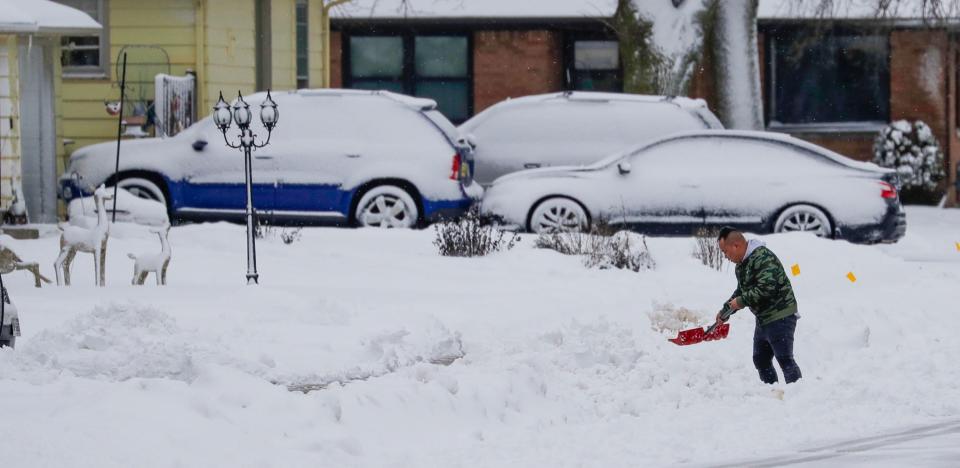
SHEBOYGAN — With snow and ice currently covering Sheboygan County, forecasted rain could lead to accumulated ice or high levels of runoff, depending on the temperatures.
While temperatures increase throughout the next few days, allowing for rain to fall rather than exclusively snow, last week’s extremely cold weather and deep snowpack may keep temperatures at the surface cold enough to maintain the snow.
Alex Bukvich, director of operations at Innovative Weather, said it will take a lot of energy to warm the surface enough for the snow and ice to melt.
“We're looking at three or four more days of persistent warm air moving in,” he said. “And that means that the likelihood of rain is definitely going to be increasing as we get into Wednesday and Thursday, depending on exactly how temperatures track.”
According to the National Weather Service, there’s a 20% chance of precipitation Monday night with altering freezing drizzle, sleet and potential snow.
Rain, snow, freezing drizzle and sleet are all likely before noon Tuesday with snow likely through the afternoon. The weather service reports a high near 34 degrees.
Tuesday night has a 50% chance of rain and snow before 7 p.m. and a low around 33 degrees.
Wednesday has a 40% chance of rain with a high near 37 degrees. Wednesday night has a low around 34 degrees with a 70% chance of rain.
Thursday has a 70% chance of rain with a high near 40 degrees. The weather service reports new precipitation amounts of below half an inch.
There’s a 60% chance of rain mainly before 7 p.m. Thursday night with lows around 33 degrees.
Friday has a 20% chance of rain throughout the day with lows dipping below freezing at night at around 30 degrees.
Winter Parking: Ready for snow? Here's what you need to know for parking in Sheboygan this winter.
With rain in the forecast and warmer temperatures, high runoff levels are possible. While Bukvich said wide-scale flooding shouldn’t be a concern, it’s worth keeping an eye on areas that collect water.
In addition to the rainwater, the snow currently on the ground has more moisture than a typical snowpack, Bukvich said. Typically, there’s about 1 inch of liquid for 10 inches of snow, however, Bukvich said in places like southeast Wisconsin, there’s 2-4 inches of liquid in 8-16 inches of snow.
“When it (the snow) melts, there will be more moisture than we're used to seeing, by a small margin,” he said. “And take that in consideration with the fact that the last week of very cold temperatures has allowed the soil to really freeze up and ice up. The soil is going to absorb less moisture.”
Joel Kolste, superintendent of streets and sanitation for the city, said last Thursday the department began making sure all basins were open and accessible so the areas that tend to see a lot of water are ready if runoff is heavy.
“That's usually the biggest challenge we have with rain after a lot of freezing conditions,” he said. “And so I feel like we've had a few days now to catch up with some of that.”
Road closures: Sections of Wisconsin Avenue and Washington Court in Sheboygan to close this week
Because the temperature will be near freezing — 32 degrees Fahrenheit — conditions may vary locally.
If the snow and ice already on the roads and ground doesn’t melt and the rain sits on top, conditions could become hazardous.
If the pavement temperature doesn’t rise enough to melt the snow and ice, the rain and sleet could freeze on top of what’s already on the roads from the last storm. Additionally, if temperatures drop overnight, as they are forecasted to Friday, the water from melted snow and rain could re-freeze on roads.
The combination of melting then refreezing could also be a risk for black ice, Bukvich said.
“The good news is salt works much better when we have warmer temperatures," he said. “So, if we're getting to 30 degrees or higher, salt is extremely effective at clearing out ice. So, that'll be a really valuable tool for the Department of Public Works and municipalities.”
Kolste said with higher temperatures on Monday, the street department was able to salt the roads and melt some of the ice and snow from last week. He said because of the low temperatures, the salt hasn’t been able to work on melting the ice, causing the “less than ideal conditions” on the roads.
Over the next week, if streets look glazed, drive carefully, Kolste said, and allow for proper stopping and slowdown distance between cars.
Have a story tip or public interest concern? Contact Sam Bailey at sgbailey@gannett.com or 573-256-9937. To stay up to date on her stories and other news, follow her on X (Twitter) @SamarahBailey.
This article originally appeared on Sheboygan Press: Rain forecasted for Sheboygan as temperatures teeter around freezing

