Snow is coming to this weekend. How will it impact central New York?
This story has been updated to reflect a new forecast with more snowfall from the National Weather Service.
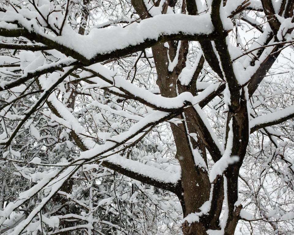
A winter storm is blowing in this weekend and Central New Yorkers should break out the snow blowers and shovels.
The National Weather Service has issued a snow watch for southern Oneida County, including Utica and Rome, as well as Madison, Otsego, Cortland, Chenango, Broome and Delaware counties, as well as parts of Northeastern Pennsylvania, from Saturday afternoon until Sunday evening. Most of the area is predicted to see snowfall of between six and eight inches, according to the weather service.
Heavier snowfall is likely to the south and east with predictions of eight to 12 inches toward the Catskills and Poconos.
In the northern portions of Oneida County, between four and six inches is predicted.
Early yesterday, National Weather Service predictions had called for lighter snowfall with just one to three inches in Central New York and up to five inches toward the Poconos. But it put out the winter storm watch overnight, a measure taken in areas with predicted snowfalls of at least seven inches, meteorologist Ema Sera said.
The National Weather Service lists the odds of at least 0.1 inches of snow in the Utica area as 98%. There’s a 95% chance of at least one inch in the area, a 91% chance of two inches or more, a 75% chance of at least four inches, a 51% chance of six inches and a 27% of eight inches. There’s only a 3% chance of a foot or more of snow, according to the National Weather Service
Areas there could get up to about five inches, she said. The Southern Tier may get more snow than the Mohawk Valley, but probably not that much more, she said.
In December, the Binghamton airport got six inches of snow, which is below average, Sera said.
More: Oneida Indian Nation launches its first cannabis operation. Here's what you need to know
More: 10 stories that made a difference: Journalism brings hope, changes
The National Weather Service’s winter outlook shows warmer-than-usual temperatures likely throughout New York, thanks in part to El Nino. It does not, however, include any clue as to snowfall, noting that all but the westernmost part of the state face an equal chance of being wetter, dryer or about the same as usual.
This article originally appeared on Observer-Dispatch: Northeast snowstorm: How much snow in Central New York this weekend?

