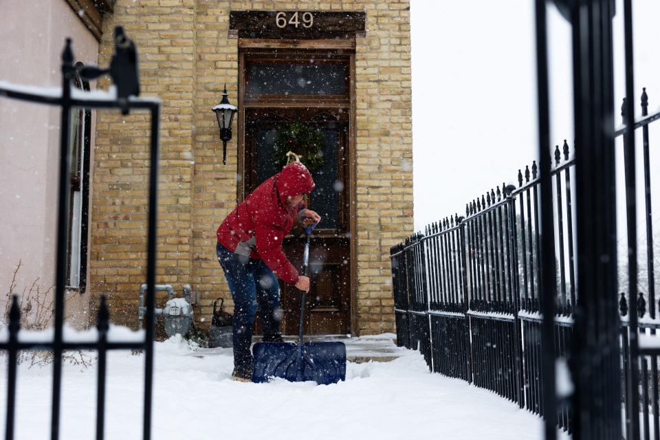
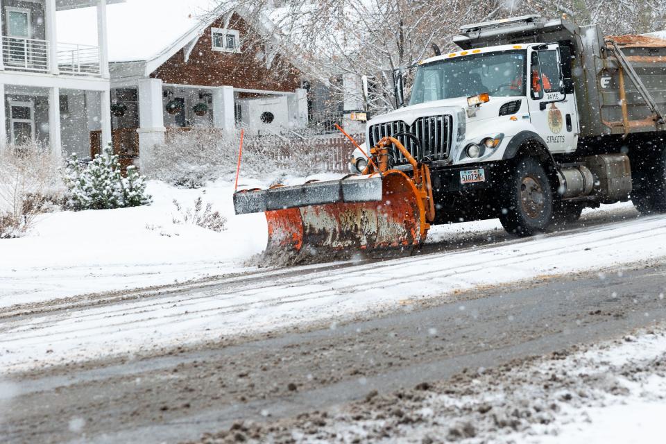
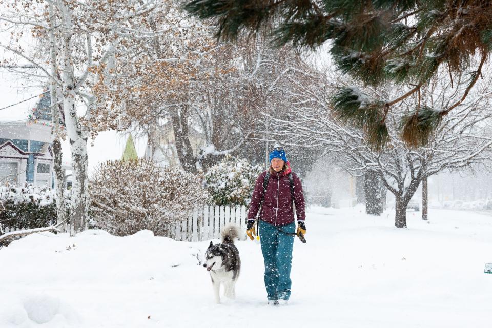
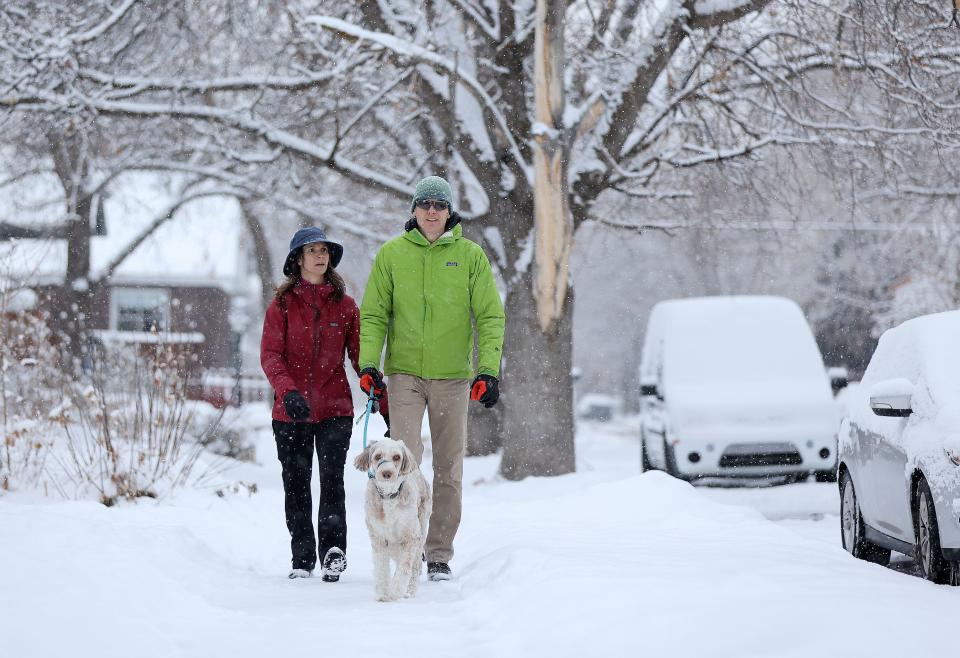
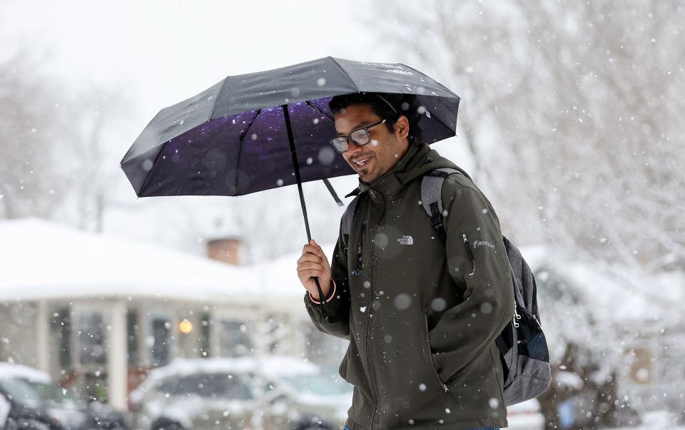
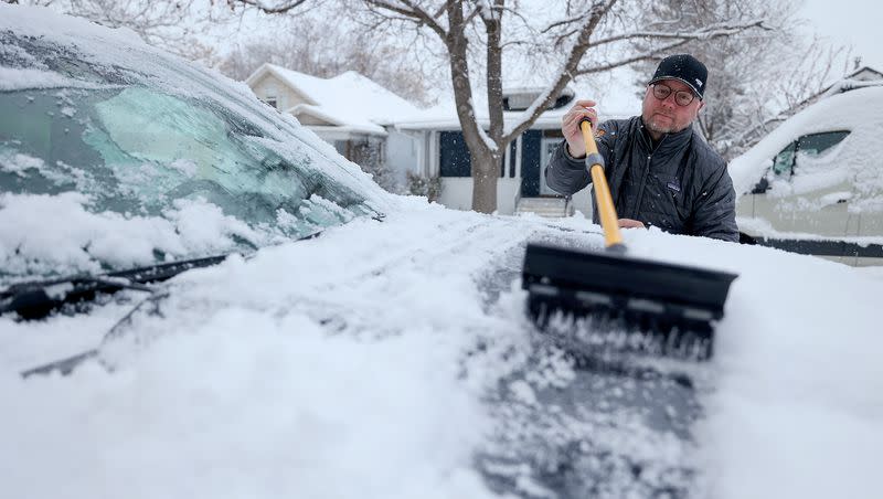
Snow squalls, extreme cold wallop Utah with this latest storm
A winter storm warning remains in effect over a large swath of the Wasatch Front and into south central Utah, with subfreezing temperatures on the horizon and more snow in the forecast.
While there is a “lull” expected into early afternoon Thursday, snow activity is expected to resume by later Thursday and into Friday.
Multiple schools had late starts, and the Utah Highway Patrol was left scrambling to clear up the havoc left behind by dozens of crashes.
Related
Avalanche warnings are also in effect for areas further south in the state — like the national parks, Price and St. George.
Snow totals were impressive, according to the National Weather Service in Salt Lake City.
Blizzard conditions also persist north of Utah into Kemmerer, Wyoming, and Preston and Burley, Idaho.
The storm was not without its squalls, thunder snow, blackened skies and, of course, lake-effect snow.
A snow squall warning is in effect until 4:00 PM MST for I-15, US-89, US-91 near Ogden--Layton, UT. pic.twitter.com/O2o0I1znIy
— NWS Salt Lake City (@NWSSaltLakeCity) January 10, 2024
Fox Weather warns that the West has become a winter storm superhighway.
The floodgates, or should it be snowgates, have opened across the West with an incredibly active period for the next seven days,” said the Fox Forecast Center. “Multiple storms will swing through the region, dropping feet of snow, leading to dangerous road conditions throughout the region.”
Tuesday will be the heaviest snow day for the Pacific Northwest. Snow levels will start very high but drop through the day below pass levels. Tropical storm-force winds will blow the snow around, creating dangerous to near-impossible travel.
Winds could gust 30 to 60 mph. The NWS warns of downed tree limbs and power lines.
The cold temperatures and storminess do not show any signs of letting up.
Forecasts predict lows in the 20s into Tuesday, when it is supposed to drop down to a frigid 9 degrees that evening.
There remains a measurable chance of snow even into next week, with the active pattern stubbornly hanging on.