When will temperatures in Central Indiana be above 32F again? Not this week
As freezing weather continues to blanket the Midwest, many Hoosiers might be asking themselves when Central Indiana will feel like less like an icebox. The answer, sadly, is not for awhile.
Although sunny skies are expected Tuesday and Wednesday, forecasters say Central Indiana is in for another round of snow by the end of the week. Temperatures, with possible subzero wind chills, will stick around too.
One to Two inches of snowfall is possible on Thursday into Friday. If traveling, slick conditions will be possible on untreated side roads, bridges and overpasses. #inwx #indy pic.twitter.com/Mt2jyk1Ybw
— NWS Indianapolis (@NWSIndianapolis) January 16, 2024
When will temperatures be above freezing in Central Indiana?
The earliest Central Indiana could thaw out won't be until Monday, according to local forecasters with the National Weather Service in Indiana.
"On Monday, we're going to warm up pretty quickly," said meteorologist Greg Melo. "It looks like we're going to turn warmer and then potentially even wetter into next week."
Monday's highs could hit into the mid to upper 30s, according to NWS, but there remains a 20% chance of snow. Temperatures are expected to climb into the 40s and 50s after Monday into Friday with a chance for showers.
Weather forecast for Central Indiana
Here's the latest weather forecast from the National Weather Service:
Tuesday: Partly sunny and cold, with a high near 10. Wind chill values as low as -12. West wind 9 to 13 mph, with gusts as high as 20 mph. Tuesday night: Mostly clear, with a low around 3. Wind chill values as low as -11. West southwest wind around 10 mph, with gusts as high as 20 mph.
Wednesday: Sunny, with a high near 25. Wind chill values as low as -12. Southwest wind 14 to 18 mph, with gusts as high as 30 mph. Wednesday Night: Mostly cloudy, with a low around 21. Southwest wind 11 to 14 mph, with gusts as high as 21 mph.
Thursday: A 50 percent chance of snow showers. Cloudy, with a high near 27. South southwest wind 8 to 10 mph. Thursday Night: Snow showers, mainly after 1am. Low around 13. North northwest wind 6 to 13 mph, with gusts as high as 18 mph. Chance of precipitation is 80%.
Friday: A 40 percent chance of snow showers before 1pm. Mostly cloudy, with a high near 15. West northwest wind 14 to 17 mph, with gusts as high as 25 mph. Friday Night: Mostly cloudy, with a low around 3. West northwest wind 13 to 17 mph, with gusts as high as 26 mph.
Saturday: Mostly sunny, with a high near 17. West northwest wind 11 to 13 mph, with gusts as high as 20 mph. Saturday Night: Mostly clear, with a low around 3. West northwest wind 5 to 9 mph.
Sunday: Mostly sunny, with a high near 23. Sunday Night: Mostly cloudy, with a low around 18.
Monday: A 20 percent chance of showers. Mostly cloudy, with a high near 36.
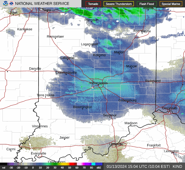
Indianapolis weather radar
John Tufts covers evening breaking and trending news for the Indianapolis Star. Send him a news tip at JTufts@Gannett.com.
This article originally appeared on Indianapolis Star: Temperatures in Central Indiana, Indianapolis remain below freezing
