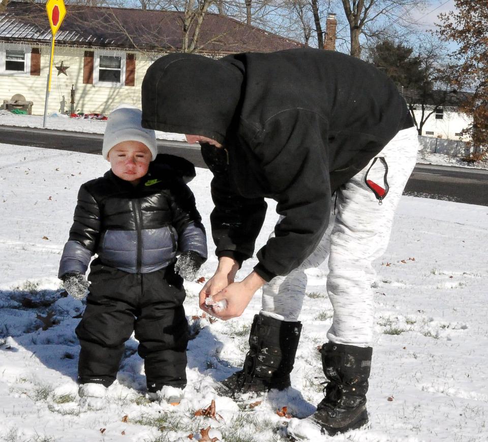
'Winter finally moved in': Ohio forecast to receive as much as six inches of snow Friday
Up to six inches of snow will fall across portions of Ohio from Thursday evening to Friday night, likely disrupting driving statewide the final day of the workweek.
The flurries were forecast to start shortly after dark Thursday, according to David Marsalek, a meteorologist who works in the Cleveland office of the National Weather Service.
"We're looking at probably 4 to 6 inches of snow," Marsalek said. "We've had a pretty cold week, so it's kind of like winter finally moved in."

The weather service issued a winter-weather advisory that will be in effect from 10 p.m. Thursday to 7 p.m. Friday for the following Ohio counties: Ashland, Crawford, Hancock, Holmes, Knox, Lucas, Marion, Morrow, Ottawa, Richland, Sandusky, Seneca, Wayne, Wood and Wyandot.
'A genuine feel for winter is here'
The snowfall will provide the first significant snow accumulation many Ohioans have seen of the year.
"The first part of winter on the whole has been on the mild side," Marsalek said. "With the cold temperatures we had and now the accumulating snow, a genuine feel for winter is here."
The bitter winds that pummeled the Buckeye State earlier in the week should not be a factor with the approaching storm.
"A little gust here and there; shouldn't get much worse than that," Marsalek said. "Maybe a little bit of blowing and drifting, but we're not looking at huge drifts or anything."
The weekend temperatures will be cold but relatively bearable: the highs will be 24 on Friday, 17 Saturday and 21 Sunday.
Nighttime lows are forecast at 9 on Friday, 3 Saturday and 6 Sunday.
'Milder-than-normal conditions'
After this weekend, the harsh winter weather will get a little easier.
"We're in for a wholesale pattern change back towards the milder conditions," Marsalek said.
Highs next week are forecast at 33 on Monday, 39 Tuesday, 42 Wednesday, 46 Thursday and 45 Friday.
"There's going to be some rain moving in," Marsalek said.

The warm spell will come to Ohio thanks in large part to the northward shifting of the jet stream.
"That will lock the colder air a little bit further north back into Canada for a while," Marsalek said. "The long-term trends, for probably the next two weeks or so, are for milder-than-normal conditions."
ztuggle@gannett.com
419-564-3508
This article originally appeared on Mansfield News Journal: Ohio's forecast jumps from several of inches of snow to warmth in days

