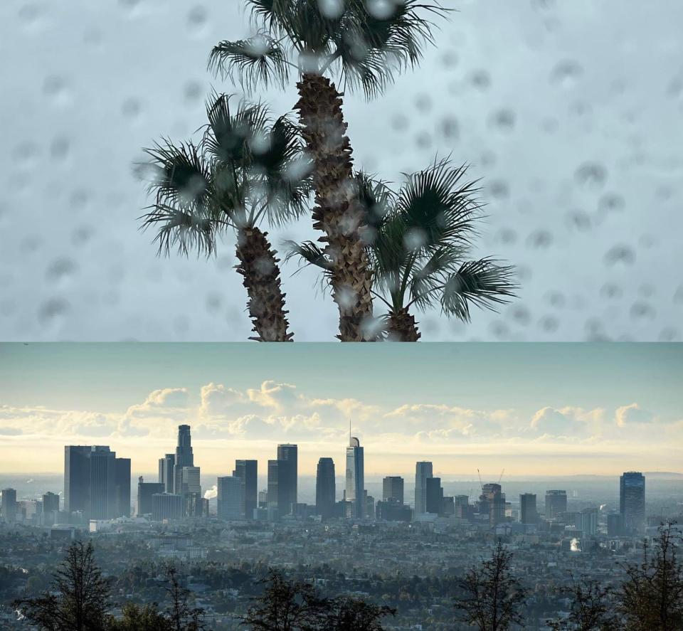
Atmospheric rivers take aim at California. What are they and will they reach Arizona?
Not one, but two atmospheric rivers will slam into California and the rest of the West over this next week, triggering strong winds, significant rain and snow and the threat of flooding and landslides.
Flood watches have been issued by the National Weather Service for portions of northern California, including the Motherlode, Mountains Southwestern Shasta County to Western Colusa County, Northeast Foothills, and the Sacramento Valley.
San Diego remains in a flood watch, with wind advisories, and winter storm warnings, following a series of storms that pummeled the southern coastline of the state.
Some of that moisture is expected to make its way to Arizona in the coming days and into next week, with the first chances of rain starting Thursday.
Atmospheric river, Pineapple Express, a winter storm. What are these and what do they mean?

Atmospheric rivers are aptly named: They are long regions of water vapor in the atmosphere, much like a river in the sky. According to scientists at NASA, atmospheric rivers can move more water than double the flow of the Amazon River.
These rivers vary in size and strength, and like hurricanes, are sorted in categories based on the severity of the storm. The amount of water vapor carried in these rivers can produce extreme rain and snowfall, bringing with it drought relief, but also flood risks.
Scientists at the National Oceanic and Atmospheric Administration say atmospheric rivers are a key factor in the global water cycle, and are intimately linked to both water supply and flood risks, particularly in the Western U.S.
Just a few of these rivers can bring about 30-50% of annual precipitation on the West Coast, according to NOAA, and have been found to be stronger and more frequent during strong El Niño years like this one.
Typically, the storms brought by these rivers form over the warm waters of tropical oceans. The high temperatures in these areas cause ocean water to evaporate and move up into the atmosphere, where strong winds and existing weather patterns carry it onto the coast.
Once the vapor makes landfall, it rises even further into the atmosphere, cooling it into the form of water droplets, resulting in rain, and snow in higher elevations.
One familiar atmospheric river is the “Pineapple Express.” This powerful system, NOAA meteorologists say, picks up warm, moist air near Hawaii, moves across the Pacific Ocean and into California and the rest of the west coast.
When it reaches land, a storm carried by the Pineapple Express can dump up to 5 inches of rain in one day.
Weather phenomenon: After record-setting heat blasted Arizona, could El Niño deliver record rains?
Will the river reach Phoenix?
Alex Young, lead meteorologist for the National Weather Service in Phoenix, said the second system moving through the region will be more significant for Arizona than the first storm.
“South-central Arizona will be getting a cold front starting Thursday evening into the overnight hours,” Young said. “We'll be seeing effects of the atmospheric river but obviously it's going to be much lesser extent, It's going to be minimal impacts across the region, mostly my we might see some minor flooding issues here and there mostly, north and east of Phoenix.”
Higher-elevation areas near Tucson could receive between 6-12 inches of snow, starting at about 6,500 feet, with chances of more snow at higher elevations. A winter weather advisory was put in effect through Friday night.
Above 6,000 feet, Flagstaff is projected to collect between 4-8 inches of snow, and above 7,000 feet, snow totals are expected to range anywhere from 4 to 14 inches, according to a winter weather advisory published by the weather service in Flagstaff.
Arizona can expect to see the effects of the second storm by the middle of next week.
“Being five plus days out still, there's a lot of uncertainties, in terms of when things might start ramping up here in Phoenix next week,” Young said. “However, regardless of those uncertainties, it looks like wet conditions are likely to persist into next week across the desert Southwest, with chances of up to an inch of rain in the metro Phoenix area.”
Whatever the chances of rain or snow, always remember to be prepared when driving in winter weather. For more information on updated road and weather conditions, visit Arizona Traveler Information, download the AZ 511 app or dial 511.
Caralin Nunes writes about weather and related topics for The Arizona Republic and azcentral. Email her with story tips at caralin.nunes@arizonarepublic.com.
You can support environmental journalism in Arizona by subscribing to azcentral today.
This article originally appeared on Arizona Republic: What is an atmospheric river and will hit it Arizona?

