Michigan faces freezing temperatures, lake effect snow Sunday. Here's the week's forecast
Michigan faces freezing temperatures and continued snowfall Sunday amid a severe winter storm this weekend.
Temperatures to single digits in some regions of the state Sunday, with some lake effect snow showers in northern regions, according to the National Weather Service. Snowfall may hit between two and six inches and another four inches Sunday night, while areas of southern Michigan may see up to an inch.
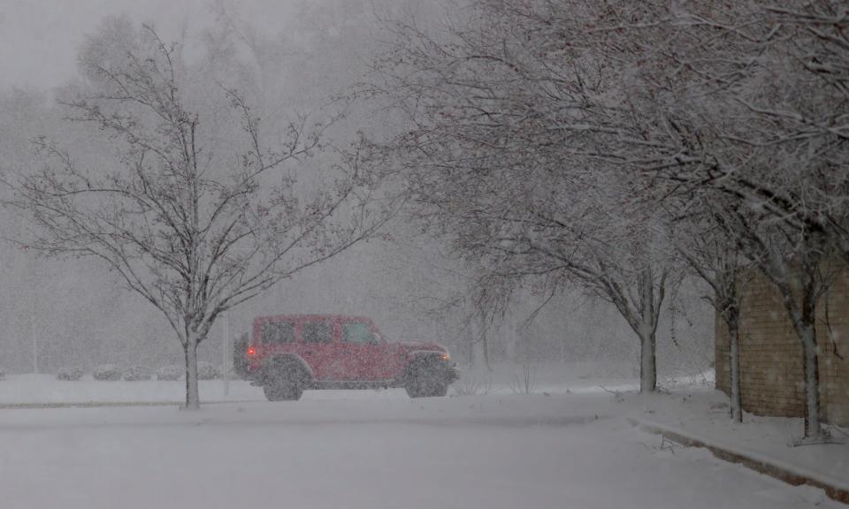
Since Friday, regions across the state saw heavy snowfall, high winds and thundersnow. Snowfall and low temperatures brought icy conditions, making roadways hazardous. The storm began Friday afternoon and continued into Saturday, bringing dangerous conditions and thousands of power outages throughout Michigan.
Winter storm hits Michigan: Tracking snowfall totals
The Michigan Department of Transportation and Michigan State Police reported dozens of crashes throughout the weekend, with crews working continuously to clear roadways. Road conditions are particularly dangerous in northern Michigan, where intense lake bands are causing near whiteout conditions and low visibility, according to the NWS. Officials urge residents to keep an emergency kit and fully charged cell phone with them before hitting the roads.
The Mackinac Bridge continues to be under a high wind warning as of 6:58 p.m. Sunday, with potential 20-34 mph winds in the area. The bridge has faced travel advisories throughout this weekend's storm.
Thousands of residents lost power Friday afternoon, as the storm brought outages across Michigan. DTE Energy and Consumers Energy sent crews out to restore power, with thousands of outages resolved by early Sunday and outage totals dropping throughout the day. Currently, more than 13,500 DTE Energy customers and more than 6,400 Consumers Energy customers remain without power.
The DTE Storm Response Team is working to restore 95% of power outages by the end of Sunday and Consumers Energy crews continue restoring power to most outages, both companies supported by workers from outside Michigan. Officials continue to advise residents to stay at least 25 feet from downed power lines, watch for crews on slick roads, avoid using a portable generator indoors in homes or businesses and watch for downed wires in debris of fallen branches and trees.
Flight cancellations nationwide dropped by Sunday, down from tens of thousands Friday and Saturday to more than 2,100 Sunday, with minimal disruptions at Michigan airports. Detroit Metro Airport and the Gerald R. Ford International Airport in Grand Rapids previously saw dozens of flight cancellations Friday and to a lesser extent Saturday.
Expect freezing temperatures to continue in the region this week, as cold arctic air enters the area, according to the NWS. Officials encourage residents to limit time outdoors to avoid the risk of frostbite and hypothermia.
This week's projected forecast
Monday: Mostly sunny and cold, with a high near 9. Wind chill values as low as -15. Low around 6.
Tuesday: Mostly cloudy and cold, with a high near 10. Low around 3.
Wednesday: Mostly cloudy, with a high near 18. Breezy. Low around 14.
Thursday: Chance of snow showers before 1 p.m. Cloudy, with a high near 24. Low around 12.
This article originally appeared on Detroit Free Press: Winter storm continues to impact Michigan with freezing conditions

