We could see a 50-degree temperature drop overnight in Milwaukee, NWS says
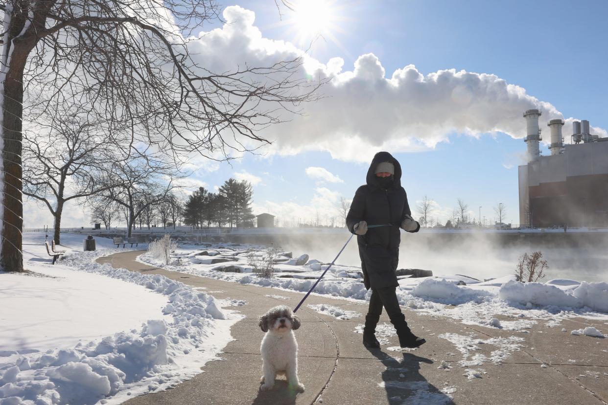
With temperatures dropping from the upper 60s to well below freezing overnight, Milwaukee is expected to close out February by experiencing all four seasons in a 24-hour period.
Tuesday afternoon, parts of Milwaukee County could see a daytime high as warm as 73 degrees, while portions of the city closer to the lakefront will likely see highs in the mid-to-upper 60s, said local National Weather Service meteorologist Benjamin Sheppard. Temperatures are expected to peak around 3 to 5 p.m.
Overnight, a strong cold front is expected to come in, plummeting temperatures into the teens. Sheppard said Milwaukee should see temps of about 17 to 19 degrees around 8 to 9 a.m. Wednesday.
Along with a potential 50-degree temperature swing, much of southern Wisconsin could see Tuesday evening thunderstorms, which could evolve into snow by early Wednesday morning and impact the morning commute.
Here's what to know.
A strong arctic cold front will push thru overnight bringing a quick drop in temps, even colder wind chills, windy conditions, and a chance at light snow thru Wednesday morning. Minor travel impacts possible. #wiwx pic.twitter.com/XnxAFIete6
— NWS Milwaukee (@NWSMilwaukee) February 27, 2024
How much will temperatures drop from Tuesday to Wednesday in Milwaukee?
Temperatures in Milwaukee could easily plummet as much as 50 degrees between Tuesday afternoon and Wednesday morning. However, this drop could feel even more extreme due to high winds on Wednesday.
Gusts of 30-to-35 mph are expected Wednesday morning through the early afternoon, Sheppard said. This could produce windchills in the mid-to-low single digits in the morning.
Meanwhile, Tuesday afternoon will most likely set a high temperature record. Milwaukee's current record for Feb. 27 is 65 degrees, set in 1976. Records come from observations at Milwaukee Mitchell International Airport, where temperatures are forecasted to peak at 68 degrees Tuesday.
"We're expecting the winds to be out of the southwest, which would allow us to reach such a warm high," Sheppard explained. "The only potential limiting factor would be if we had any, even a slight, southeasterly wind off the lake. That would work against us because the lake is very cold right now. But, currently, we're expecting the winds to be southwest."
Update: According to a post on X by NWS Milwaukee, Wisconsin set an all-time record high for February of 75 degrees Tuesday afternoon in Kenosha. The state's previous February record high of 73 degrees occurred in 2017.

Why is Milwaukee experiencing such a big temperature swing between Tuesday and Wednesday?
Local NWS meteorologist Andrew Quigley told the Journal Sentinel Monday that an upper disturbance from the Rocky Mountains moved toward southeastern Wisconsin, bringing breezy, southerly winds on Monday and Tuesday. This will bring a warm, mild air mass from the south-central plains to Wisconsin, he said.
"With the combination of daytime heating and the warm front coming through, we will have that extreme daytime high," Sheppard said.
Then, around midnight Wednesday, a strong arctic cold front from Canada will push through, bringing a quick drop in temps, even colder windchills, windy conditions and a chance of light snow through Wednesday morning.
A drop in temps this extreme is certainly uncommon, Sheppard said, and this is a "stronger than normal" cold front.
Will there be thunderstorms in Milwaukee this week? How about snow?
Around or after 6 p.m. Tuesday, southeastern Wisconsin will see increased chances of rain and thunderstorms due to the unseasonably warm temperatures and higher dewpoints, NWS said. There is a chance of large hail and damaging wind gusts along with the storms, especially south of Interstate 94 and east of Interstate 39.
In Milwaukee, rain is expected to transition to a wintery mix around 3 a.m. Wednesday, Sheppard said. This will likely be followed by light snow showers. However, due to warm surface temperatures from the previous day, there won't be much snow accumulation.
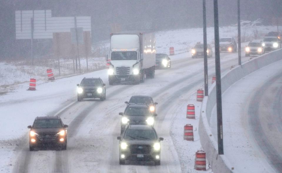
Slick roads could impact Milwaukee's Wednesday morning commute
"Light precipitation falling after the cold front could hit the roads and melt, and then the cold air temperatures will cause it to freeze," Sheppard said. "That could potentially lead to slick roads."
NWS warns that "minor travel impacts" will be especially likely for "wet, untreated, and/or elevated surfaces."
High temps will warm to the mid-to-upper 20s by the end of the day Wednesday. Highs in the low 40s are expected by Thursday before they climb to the upper 40s and 50s Friday and Saturday.
"In the past, when we've had events like this and the roads get treated, usually temperatures in the upper 20s are when those road treatments do well," Sheppard explained. "So, I would not be concerned about treated roads later in the day Wednesday. But, untreated sidewalks ... could remain slippery later in the day."
Why is it so warm this winter?
The primary culprit behind Wisconsin's unseasonably warm winter is a weather phenomenon known as El Niño.
An El Niño event is caused when sea surface temperatures in the central and eastern Pacific Ocean warm to above average for several months. During an El Niño, the polar jet stream is shifted northward, which limits cold air intrusions from the north, NWS explains.
In general, El Niño brings above-average temperatures to the northern United States, which often result in below-average snowfall in moderate-to-strong El Niño years.
Last year, the Milwaukee area NWS said this winter's El Niño was on track to be one of the strongest on record.
More: It's been Milwaukee's warmest winter ever. Does that mean we're in for a hot spring and summer?
More: Here's what Farmers' Almanac is predicting for upcoming spring weather in Wisconsin
Journal Sentinel reporter Drew Dawson contributed to this report.
This article originally appeared on Milwaukee Journal Sentinel: Temperatures could drop 50 degrees overnight in Milwaukee, Wisconsin

